
Area 12.7 km² | Intercommunality Orvin et de l'Ardusson Local time Friday 3:18 PM | |
 | ||
Weather 16°C, Wind S at 24 km/h, 58% Humidity | ||
Avon-la-Pèze is a French commune in the Aube department in the Grand Est region of north-central France.
Contents
Map of 10290 Avon-la-P%C3%A8ze, France
The inhabitants of the commune are known as Avonnais or Avonnaises.
Geography
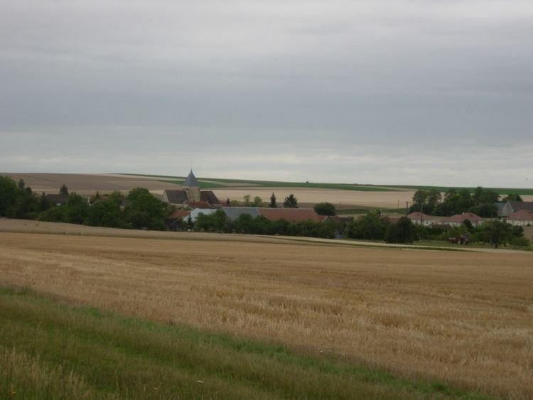
Avon-la-Pèze is located some 30 km north-west of Troyes and 17 km south by south-west of Romilly-sur-Seine. Access to the commune is by road D440 from Rigny-la-Nonneuse in the north which passes through the centre of the commune and the village before continuing south to Marcilly-le-Hayer. The D23 comes from Avant-les-Marcilly in the north-west passing west through the commune and the village and continuing to Saint-Lupien in the south-east. The D16 branches off the D23 east of the village and goes north-east to Marigny-le-Châtel. There is the hamlet of La Pezé to the north of the village. There is a large forest to the west of the village (the Bois de la Garenne) and the rest of the commune is farmland.
Administration
List of Successive Mayors
(Not all data is known)
Demography
In 2010 the commune had 188 inhabitants. The evolution of the number of inhabitants is known from the population censuses conducted in the commune since 1793. From the 21st century, a census of communes with fewer than 10,000 inhabitants is held every five years, unlike larger communes that have a sample survey every year.
Sources : Ldh/EHESS/Cassini until 1962, INSEE database from 1968 (population without double counting and municipal population from 2006)
Sites and Monuments
The Parish Church once belonged to the Abbey of Pothières in Côte-d'Or. Rebuilt in the 16th century, altered and distorted in the 18th century, it came under Saint-Pierre-ès-Liens. It contains a large number of items that are registered as historical objects: