
Width 19 km (11.8 mi) Highest point Mekknøken Elevation 751 m | Length 21 km (13 mi) Highest elevation 751 m (2,464 ft) Area 165 km² | |
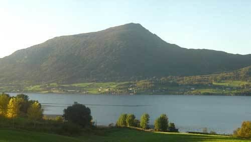 | ||
Averøya is an island in the municipality of Averøy in Møre og Romsdal county, Norway. It is located north of the Romsdal peninsula surrounded by the Kornstadfjord on the west and the Kvernesfjord on the south and east. The main villages on the 165-square-kilometre (64 sq mi) island include Bruhagen, Kvernes, Kornstad, Kårvåg, Langøy, and Bremsnes.
Contents
Map of Aver%C3%B8ya, 6530 Aver%C3%B8y, Norway
The island is connected to the mainland by the Atlanterhavsveien road, and it is connected to Kristiansund via the Atlantic Ocean Tunnel.
In popular culture
Norwegian comedy duo Ylvis made a music video about the island's need for an information sign. The video was recorded with a number of other Norwegian celebrities, (satirically) saying they are trying to raise money for a sign.
References
Averøya Wikipedia(Text) CC BY-SA