
 | ||
Reanundan el paso vehicular en avenida bucareli
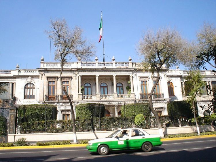
Avenida Bucareli, often referred to as "Bucareli Street", is a main avenue and eje vial (arterial road) in Mexico City. It divides the Historic center on the east from Colonia Juárez on the west. It is named after the viceroy of New Spain, Antonio María de Bucareli y Ursúa, who commissioned it. Built in the late 18th century and called Paseo Nuevo, it was once a wide boulevard lined with more than 1000 ash trees. In the 19th century the walking paths on either side were built upon and the avenue acquired its current width. It originally had three plazas, each with a fountain. Only one fountain survives, though it was moved to Plaza Loreto.
Contents
- Reanundan el paso vehicular en avenida bucareli
- Map of Bucareli MC3A9xico 87497 Matamoros Tamps Mexico
- Patricia mercado y el retiro de las vallas meta licas en avenida bucareli
- Points of interest
- References
Map of Bucareli, M%C3%A9xico, 87497 Matamoros, Tamps., Mexico
Patricia mercado y el retiro de las vallas meta licas en avenida bucareli
Points of interest
References
Avenida Bucareli Wikipedia(Text) CC BY-SA