
Population 1,048 (2011 census) Local time Friday 9:24 PM | Postcode(s) 3664 Postal code 3664 Federal division Division of Murray | |
 | ||
Weather 24°C, Wind SE at 23 km/h, 52% Humidity | ||
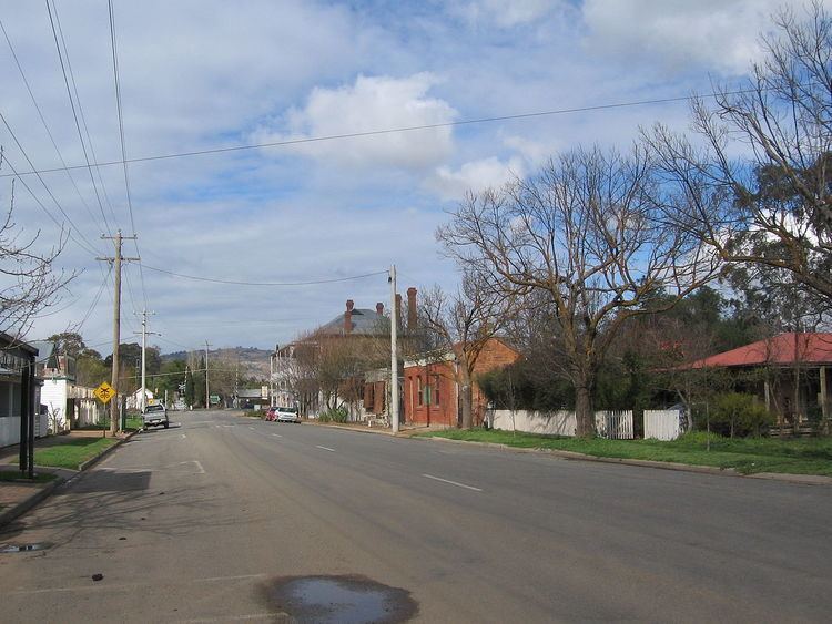
Avenel is a small town in Victoria, Australia. It is in the Shire of Strathbogie local government area. At the 2011 census, Avenel had a population of 1,048, up from 728 at the 2006 census and 552 at the 2001 census.
Contents
Map of Avenel VIC 3664, Australia
History
The town was established along the old Hume Highway and the highway now bypasses the outskirts of the town. The Post Office opened on 2 June 1858. It is frequently stated as having been named for a village in Gloucestershire by Henry Kent Hughes. The name "Avenel" also appears in Sir Walter Scott's Tales from Benedictine Sources: The Monastery (1820) and The Abbot (1820) as the name of a castle and family. Hughes settled there in 1838, laid out the future town, and named the Hughes Creek, which flows through it.
Avenel was the hometown of Ned Kelly in his younger years, where he saved a boy from drowning in the local Hughes Creek. His brother and father are buried in the Avenel cemetery. Ned Kelly and his family went to school here in Avenel and then later left.
Today
The town is home to many organisations including sporting clubs such as the Avenel Football Club competing in the Kyabram District Football League, Avenel Netball Club, Avenel Tennis Club, Avenel Cricket Club and the Avenel Bowling Club.
Golfers play at the Avenel Golf Club on Bank Street.
The railway station is serviced by V/Line services between Melbourne and Albury.