
Population 337 (2011 census) Postal code 3666 Federal division Division of Murray | Postcode(s) 3666 Local time Friday 9:19 PM | |
 | ||
Location 175 km (109 mi) N of Melbourne60 km (37 mi) E of Seymour47 km (29 mi) N of Yea24 km (15 mi) S of Longwood Weather 17°C, Wind NE at 6 km/h, 71% Humidity | ||
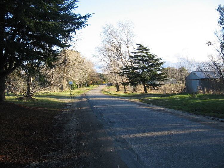
Ruffy is a town in Victoria, Australia. It is in the Shire of Strathbogie, 175 kilometres (109 mi) north of the state capital, Melbourne. At the 2011 census, Ruffy and the surrounding area had a population of 337.
Map of Ruffy VIC 3666, Australia
The Post Office opened on 1 April 1881 as Terip Terip, was renamed Ruffy in 1895, and closed in 1974.
Ruffy was the childhood home of Leslie Cecil Maygar, awarded the Victoria Cross in the Second Boer War.
References
Ruffy, Victoria Wikipedia(Text) CC BY-SA