
Population (2010) 49 Local time Friday 8:32 AM | Intercommunality Alpes d'Azur Area 18.27 km² | |
 | ||
Weather 3°C, Wind N at 8 km/h, 58% Humidity | ||
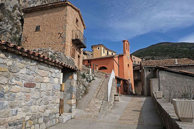
Auvare (Occitan: Auvara) is a French commune in the Alpes-Maritimes department in the Provence-Alpes-Côte d'Azur region of south-eastern France.
Contents
Map of 06260 Auvare, France
The inhabitants of the commune are known as Auvarois or Auvaroises.
Geography
Auvare is located some 45 km north-east of Nice (in a direct line) and 6 km north-east of Puget-Théniers in the heart of the Alps. Access to the commune is by the D16 road from Puget-Theniers which passes through the far south of the commune and continues, changing its designation to D316, to join the D2202 just south of Daluis. Access to the village in the centre of the commune is by a small local road which branches from the D16 in the south of the commune and follows a tortuous and long route to the village. There is also an equally tortuous route going west from the village which eventually meets the D316 west of the commune. Apart from the village there is the hamlet of Les Vignes towards the south. The terrain of the commune is alpine and very rugged with no apparent farmland.
Numerous waterways rise in the commune and flow generally south-west including the Roudoule which forms the north-western border, the Vallon du Serre Long, the Vallon de Mous which flows east to the commune boundary where it joins an unnamed stream which flows north-east and forms the north-eastern border, the Ravin de Peichal flows north to join the same stream, and the Vallon d'Auvare with many tributaries which rises north of the village and flows south through the village continuing south to join the Torrent de Mayola.
History
After the Roman conquest (which was completed in 14 BC), Augustus organized the Alps into provinces. The territory of the present commune of Auvare was part of the province of Alpes Maritimae which was attached to the civitas of Glanate (Glandevès). In late antiquity the Diocese of Glandevès defined the limits of this civitas.
The Roudoule Valley was conquered by the French Revolutionary Army in October 1792. The region was annexed by the decree of 31 January 1793 and confirmed by the Treaty of Paris (1796). The French Revolution was apparently well received since a Liberty Tree was planted and remained until the Restoration of the Savoyard State in 1814. The Savoyards hastened to levy taxes bringing a new upheaval to the Auvare community.
Administration
List of Successive Mayors
(Not all data is known)
Since 1 January 2014 Auvare has been part of the Community of communes of Alpes d'Azur. It was previously a member of the Community of communes des vallées d'Azur until this disappeared during the implementation of a new departmental plan for inter-communal cooperation.
Demography
In 2010 the commune had 49 inhabitants. The evolution of the number of inhabitants is known from the population censuses conducted in the commune since 1793. From the 21st century, a census of communes with fewer than 10,000 inhabitants is held every five years, unlike larger communes that have a sample survey every year.
Sources : Ldh/EHESS/Cassini until 1962, INSEE database from 1968 (population without double counting and municipal population from 2006)
Economy
The main economic resource is sheep farming.