
Existed: 1994 – present Constructed 1994 | Length 278 km | |
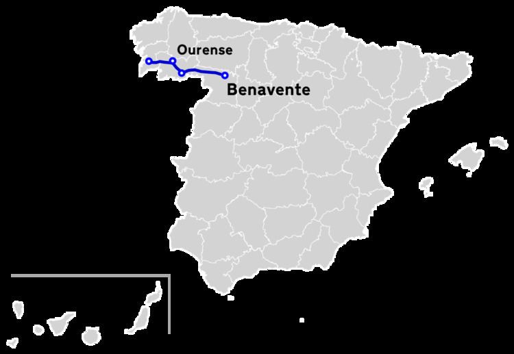 | ||
The A-52 is a highway in western Spain. It starts at Vigo heads east from the town crossing the Autopista AP-9 and then the N-550/Autovía A-55. It then goes over the Rio Tea running parallel to the N-120 and along the Rio Miño. At Ourense the road turns south out of the valley in conjunction with the N-525. It passes over the Alto de Allariz (725m) and Alto de Estivadas (900m). At Verín the N-532 heads 13 km south to the Portugal frontier where it becomes the E-801/A-24/IP-3.
Map of Autov%C3%ADa de las R%C3%ADas Bajas, Spain
The road runs to the north of the Sierra de Peñas Libras and over the Alto de Fumaces (850m). The Peña Nofre (1,291m) lies to the north. The road heads east over the Alto do Canizo (1,035m) into the Valle de Sanabria overlooked by the Sierra la Cabrera rising to 2,044m at Mt Moncalvo.
The road then heads along the Rio Tera which is dammed into a series of reservoirs. At Benavente the Rios Esla and Orbigo converge. There is a junction with the Autovía A-6 and Autovía A-66 as well as the N-VI.