
Area 3.08 km² | Arrondissement Pau | |
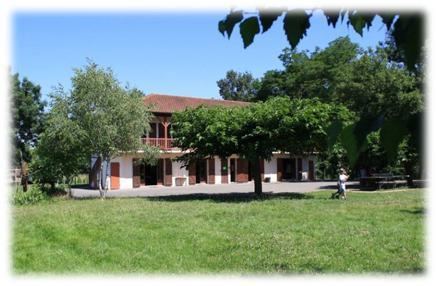 | ||
Auterrive is a French commune in the Pyrénées-Atlantiques department in the Nouvelle-Aquitaine region of south-western France.
Contents
- Map of 64270 Auterrive France
- Geography
- Toponymy
- History
- Administration
- Inter communality
- Demography
- Economy
- Civil heritage
- Religious heritage
- Environmental heritage
- Amenities
- Notable people linked to the commune
- References
Map of 64270 Auterrive, France
The inhabitants of the commune are known as Auterriverains or Auterriveraines.
Geography
Auterrive is located some 14 km south-east of Peyrehorade and 7 km west of Salies-de-Béarn. Access to the commune is by the D29 road from Carresse-Cassaber in the north which passes just west of the village and continues south-west to Labastide-Villefranche. Access to the village is by local roads connecting to the D29. The D28 road goes south from Saint-Dos through the west of the commune and continues to Escos in the south. The D277 goes from the D29 just west to the village west to Saint-Dos. Apart from forest along the river bank and some small forests in the west of the commune the land is all farmland.
Auterrive is a Gascon village, which fully depended on Dax and is nowhere mentioned as Bearnais. Paul Raymond reported a record from 1675 when the village was referred to as Autarrive en France. Pierre-Tucoo Chala indicated a peculiarity concerning Carresse-Cassaber: the Auterrive bridge is not on the border but Gascony had a bridgehead on the right bank of the Gave d'Oloron on what is now the territory of the Béarnais village of Carresse. This area did not touch the river at the bridge and purists could say that the béarnais commune of today has incorporated a few hectares of Gascon land.
The commune is in the drainage basin of the Adour. The area east of the village is an island enclosed by a loop of the Gave d'Oloron and a stream which crosses the loop (although the Gave d'Oloron is not the border of the commune).
Toponymy
The commune name in béarnais is Autarriba. For Michel Grosclaude the origin of the name is unquestionably Gascon, auta arriba from the Latin alta ripa meaning "high river".
The following table details the origins of the commune name and other names in the commune.
Sources:
Origins:
History
Paul Raymond noted on page 17 of his 1863 dictionary that Auterrive depended on the sub-delegation of Dax.
Administration
List of Successive Mayors
(Not all data is known)
Inter-communality
The commune is part of seven inter-communal structures:
Demography
In 2010 the commune had 123 inhabitants. The evolution of the number of inhabitants is known from the population censuses conducted in the commune since 1793. From the 21st century, a census of communes with fewer than 10,000 inhabitants is held every five years, unlike larger communes that have a sample survey every year.
Sources : Ldh/EHESS/Cassini until 1962, INSEE database from 1968 (population without double counting and municipal population from 2006)
Economy
The commune is part of the Appellation d'origine contrôlée (AOC) zone of Ossau-iraty.
Civil heritage
There is a small enamelled plate which says "June 1875" that recalls the flood which swept away the village bridge killing two people in that year.
Religious heritage
Environmental heritage
Amenities
There is a holiday and leisure centre at Auterrive (Les Francas).