
Population 3,023 (2011 census) Postcode(s) 2179 Postal code 2179 | Established 1891 State electorate(s) MulgoaCamden Founded 1891 | |
 | ||
Location 42 km (26 mi) south-west of Sydney CBD | ||
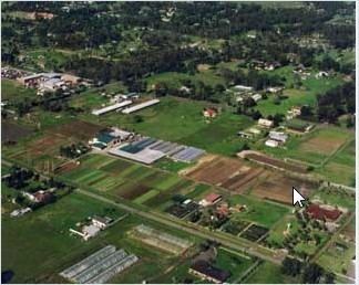
Austral is a suburb of Sydney, in the state of New South Wales, Australia. It is 42 kilometres south-west of the Sydney central business district, in the local government area of the City of Liverpool.
Contents
Map of Austral NSW 2179, Australia
It is bounded to the west by waterway Kemps Creek, to the east by a Sydney Water supply channel, to the north by a straight division, and to the south by Bringelly Road. Bonds Creek flows southeast-northwest through the suburb, and confluences with Kemps Creek near Fifteenth Avenue. It is of note in its design, its streets laid out in a grid pattern, and all horizontal ones named 'Avenue', in numbers from south to north increasing.
History
The area that now constitutes the suburbs of Austral was a parcel of land in West Hoxton purchased by the Austral Banking and Land Proprietary. When residents pushed for a second public school in the Hoxton Park area in 1891, Austral Banking and Land Proprietary donated 3 acres (12,000 m2) of its land for the site and, in return, the school was named Austral Public School. The name of the school became synonymous with the area although it wasn't officially recognised until 1972. Austral Post Office opened on 7 February 1894.
Demographics
According to the 2011 census of Population, there were 3,023 residents in Austral. 62.5% of residents were born in Australia. The most common other countries of birth were Italy 12.4%, Malta 2.5% and Lebanon 2.2%. 52.3% of residents spoke only English at home. Other languages spoken at home included Italian 18.2%, Arabic 6.3% and Maltese 3.0%. The most common responses for religious affiliation were Catholic 55.9%, Anglican 11.1% and No Religion 6.2%.
Landmarks
Austral has a sportsground, youth centre, tennis court and skate ramp at Craik Park, the W V Scott memorial Park, with a pavilion, and a bowls grounds, Petanque. It has a Rural Fire Service station, primary school (Austral Primary), a retirement village (Scalabrini Village) and a small area of commerce, including a post office and telephone. It is the site of Camp Austral girl guides camp, and another small shopping area near the corner of Fifteenth Avenue and Edmonson Avenue. It is also the site of a Sikh temple and an animal shelter.
Transport
Bringelly Road connects Austral to Liverpool and the Westlink M7, a pay road providing relatively quick connection to Sydney CBD and other parts of greater Sydney.
The Route 853/855 bus service connects Bringelly to Liverpool via Rossmore, Austral, Hoxton Park and Cartwright. In 2015, a railway station opened in the neighbouring suburb of Leppington.