
Intercommunality Viaur Céor Lagast Area 30.76 km² Population 280 (1999) | Region Occitanie Time zone CET (UTC+1) Local time Thursday 2:02 PM | |
 | ||
Weather 9°C, Wind W at 10 km/h, 88% Humidity | ||
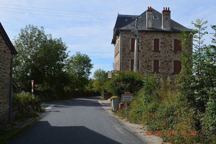
Auriac-Lagast is a commune in the Aveyron department in the Occitanie region of southern France.
Contents
- Map of 12120 Auriac Lagast France
- Geography
- Administration
- Demography
- Distribution of Age Groups
- Sites and monuments
- References
Map of 12120 Auriac-Lagast, France
The inhabitants of the commune are known as Aurigastois or Aurigastoises.
Geography
Auriac-Lagast is located some 27 km south of Rodez and 35 km north by north-east of Carmaux. Access to the commune is by the D522 road from Cassagnes-Bégonhès in the north-west which passes through the heart of the commune and the village and continues south-east to Durenque. The D25 passes inside the eastern border of the commune as it goes from Salmiech to Villefranche-de-Panat. Apart from the village there are the hamlets of:
The commune is almost entirely farmland with a few forests.
The Gladou river rises in the east of the commune and flows west forming part of the western border as it then flows north to join the Céar south of Cassagnes-Bégonhès. The Hunargues and the Ruisseau des Gazelles also rise in the commune and flow west to join the Gladou in the commune. The Ruisseau du Lagast rises in the south-eastern corner of the commune and forms most of the eastern border as it flows north to join the Céor. The Ruisseau de Miège Sole crosses the eastern arm of the commune and forms part of the northern border of the arm before continuing north to join the Ruisseau du Lagast just north of the commune.
Administration
List of Successive Mayors
(Not all data is known)
Demography
In 2010 the commune had 241 inhabitants. The evolution of the number of inhabitants is known from the population censuses conducted in the commune since 1793. From the 21st century, a census of communes with fewer than 10,000 inhabitants is held every five years, unlike larger towns that have a sample survey every year.
Sources : Ldh/EHESS/Cassini until 1962, INSEE database from 1968 (population without double counting and municipal population from 2006)
Distribution of Age Groups
Percentage Distribution of Age Groups in Auriac-Lagast and Aveyron Department in 2010
Sources: