
Department Aisne Area 10.01 km² | Population (2010) 1,292 Local time Thursday 12:32 PM | |
 | ||
Weather 9°C, Wind W at 26 km/h, 62% Humidity | ||
Aulnois-sous-Laon is a French commune in the department of Aisne in the Hauts-de-France region of northern France.
Contents
Map of 02000 Aulnois-sous-Laon, France
The inhabitants of the commune are known as Aulnoisiens or Aulnoisiennes
Geography
Aulnois-sous-Laon is located some 30 km south-east of Saint-Quentin and 5 km due north of Laon. The A26 autoroute passes through the north-eastern part of the commune but has no exit in the commune. The D967 road also passes through the commune from Crecy-sur-Serre in the north continuing to Laon in the south. The village can be accessed by the D541 branching west from the D967 passing through the village and continuing west to Vivaise. The D545 road also come from the south through the village and continues north-east to Barenton-Bugny. The commune is predominantly farmland with a little forest.
The Ru d'Alnois rises south of the village and flows north-east changing to the Ruisseau de Longuedeau and forming the north-eastern border of the commune before continuing north-east joining the Ru des Barentons which eventually joins the Souche river at Barenton-sur-Serre.
Administration
List of Successive Mayors of Aulnois-sous-Laon
(Not all data is known)
Demography
In 2010 the commune had 1,292 inhabitants. The evolution of the number of inhabitants is known through the population censuses conducted in the town since 1793. From the 21st century, a census of municipalities with fewer than 10,000 inhabitants is held every five years, unlike larger towns that have a sample survey every year.
Sources : Ldh/EHESS/Cassini until 1962, INSEE database from 1968 (population without double counting and municipal population from 2006)
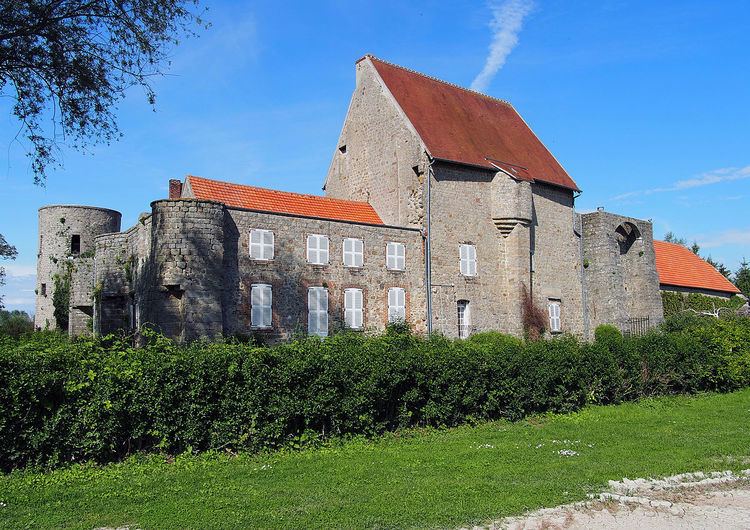
Sites and Monuments
Two sites in the commune are registered as historical monuments: