
Time zone CET/CEST (UTC+1/+2) Area 49.9 km² Local time Thursday 12:03 PM | Municipal assoc. Mittelholstein Postal codes 24613 Population 3,724 (31 Dec 2008) | |
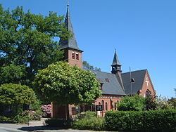 | ||
Weather 6°C, Wind W at 21 km/h, 89% Humidity Points of interest Dat ole Hus, Boxberg, Bünzer Wassermühle | ||
Aukrug is a municipality in the district of Rendsburg-Eckernförde, in Schleswig-Holstein, Germany. It is situated approximately 13 km west of Neumünster, and 35 km southwest of Kiel.
Contents
Map of 24613 Aukrug, Germany
Geography
Aukrug is the seat of the Amt ("collective municipality") Aukrug.
The location of Aukrug is south of the municipality of Mörel or Gnutz, but east of Hohenwestedt, and west of Wasbek or Ehndorf.
History
Innien, the oldest part of the municipality, appears in a surviving record from as far back as 1128. The name Aukrug comes from "in de Aukrögen", using the "Plattdeutsch" (low German) of the region, and means something along the lines of "in the folds of the flood plain".
Tönsheide Forest
The Tönsheide Forest lies east of Aukrug specialist hospital and is a nature reserve with an area of 67 hectares (170 acres). It consists of large areas of near-natural woodland with scattered with areas of heath.