
OS grid reference NY2538 Post town WIGTON Local time Wednesday 7:18 PM | Sovereign state United Kingdom Postcode district CA7 Dialling code 016973 | |
 | ||
Weather 3°C, Wind SW at 11 km/h, 85% Humidity | ||
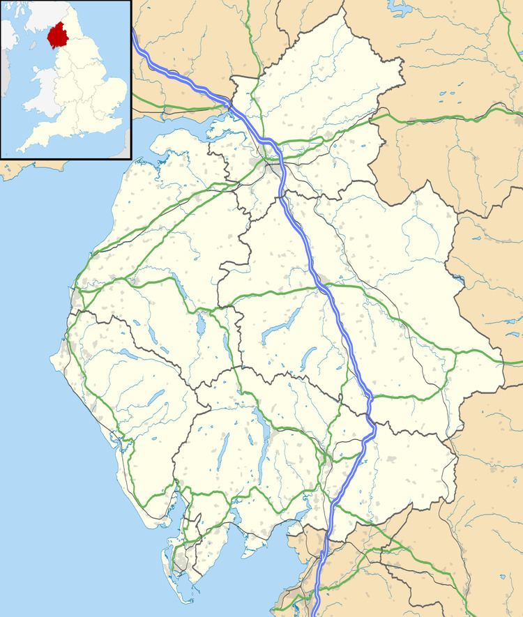
Aughertree (/ˈæfərtriː/ AF-ər-tree) is a village in northern Cumbria, England. It is situated near to the villages of Caldbeck and Torpenhow, but closer to the main local centre Ireby and is in the parish of Ireby and Uldale.
Map of Aughertree, Wigton, UK
There are at least three Iron Age settlements on the nearby fell, a neolithic causeway along with several burial mounds that have been extensively excavated in earlier centuries but without sufficient recording or controls.
It used to be a much larger village with several taverns or pubs but none now remain. Some sites of former houses and farms can be seen but these are long gone.
A historic funeral road to Uldale Old Church starts in the hamlet and follows a footpath and bridleway.
References
Aughertree Wikipedia(Text) CC BY-SA