
Intercommunality Trois Cantons Area 6.16 km² Population 91 (1999) | Canton Carignan Time zone CET (UTC+1) Local time Wednesday 8:09 PM | |
 | ||
Weather 8°C, Wind SW at 16 km/h, 97% Humidity | ||
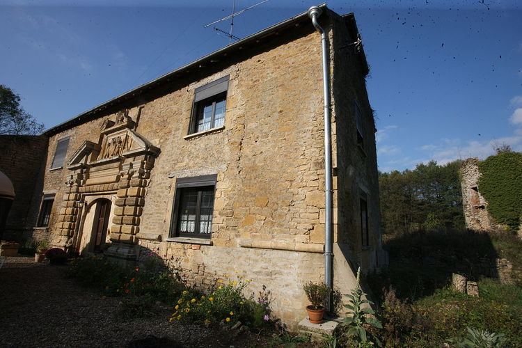
Auflance is a French commune in the Ardennes department in the Grand Est region of north-eastern France.
Contents
Map of 08370 Auflance, France
Geography
Auflance is located on the frontier of Belgium along its eastern border some 38 km east by south-east of Sedan and 17 km north-west of Montmédy. Access to the commune is by the D17 road from Puilly-et-Charbeaux in the north-west which passes through the centre of the commune and the village and continues to Sapogne-sur-Marche in the south-east. A small country road crosses the Belgian border and goes to Villers-Devant-Orval. The commune is mixed forest and farmland.
The Marche river forms the south-eastern border of the commune as it flows south-west to join the Chiers near Margut. The Paquis river passes through the centre of the commune from north-west to south-east where it joins the Marche on the border of the commune. The Coquerte flows from the north in the west to the commune to join the Paquis.
Administration
List of Successive Mayors
(Not all data is known)
Demography
In 2010 the commune had 85 inhabitants. The evolution of the number of inhabitants is known from the population censuses conducted in the commune since 1793. From the 21st century, a census of communes with fewer than 10,000 inhabitants is held every five years, unlike larger towns that have a sample survey every year.
Sources : Ldh/EHESS/Cassini until 1962, INSEE database from 1968 (population without double counting and municipal population from 2006)