
District Braunau am Inn Vehicle registration BR Elevation 488 m Population 518 (1 Apr 2009) Area code 07747 | Time zone CET (UTC+1) Area 11 km² Local time Wednesday 7:59 PM Postal code 5224 | |
 | ||
Weather 6°C, Wind SW at 8 km/h, 64% Humidity | ||
Auerbach ( [ˈaʊɐbax]) is a town in Upper Austria, Austria. Its length from north to south is 4.3 km and from east to west is 5 km; its area is 10.78 km2. In 2015, it had 565 inhabitants.
Contents
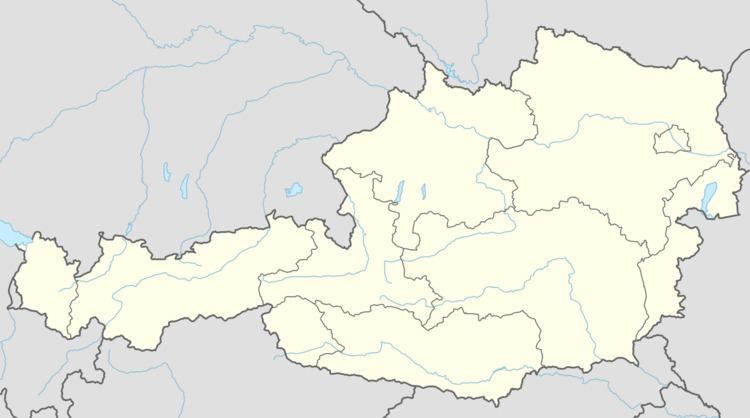
Map of 5224 Auerbach, Austria
Subdivisions
Auerbach consists of two Katastralgemeinden: Auerbach and Irnprechting. It contains the following settlements:
History
Auerbach was part of the Duchy of Bavaria until 1779, when it passed to Austria with the rest of the Innviertel as a result of the Treaty of Teschen, that ended the War of the Bavarian Succession. During the Napoleonic Wars, it became Bavarian again until 1814 when it rejoined Upper Austria.
References
Auerbach, Upper Austria Wikipedia(Text) CC BY-SA