
Country United States ZIP codes 62441, 62442 Elevation 198 m Local time Wednesday 3:30 AM | Time zone CST (UTC-6) GNIS feature ID 0428618 Area 40.97 km² Population 242 (2010) | |
 | ||
Weather 12°C, Wind SW at 21 km/h, 100% Humidity | ||
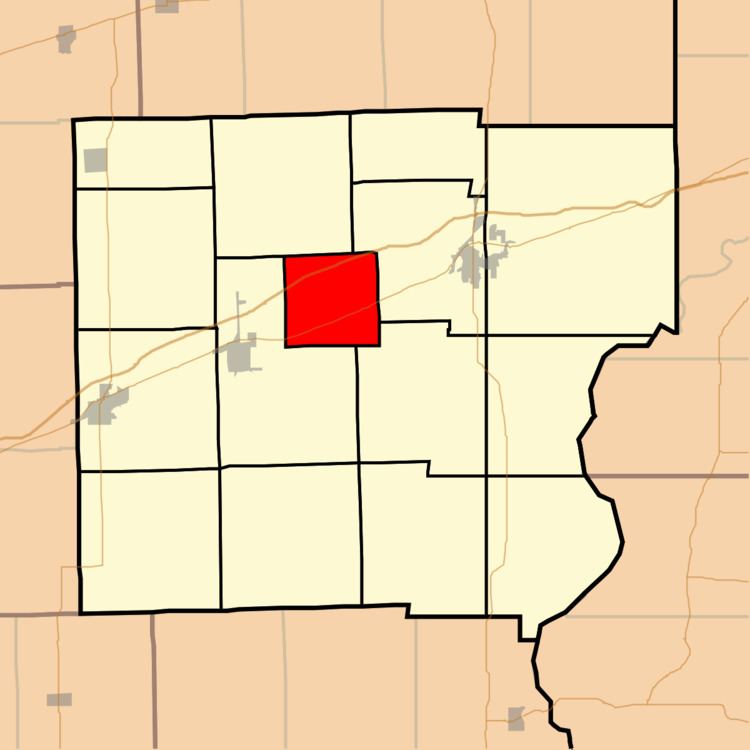
Auburn Township is one of fifteen townships in the center of Clark County, Illinois, USA. As of the 2010 census, its population was 242 and it contained 124 housing units.
Contents
- Map of Auburn Township IL USA
- History
- Geography
- Unincorporated towns
- Major highways
- School districts
- Political districts
- References
Map of Auburn Township, IL, USA
History
Auburn Township was created in 1859 and consisted of land taken from Anderson, Dolson, Marshall and Martinsville Townships in Clark County. According to the History of Crawford and Clark Counties, Illinois, the creation was the result of gerrymandering to facilitate the election of an unidentified influential person to be a justice of the peace. The township was named for the already existing village of Auburn.
The village of Auburn had vied with the town of Marshall as the seat of Clark County. Auburn had the advantage of being centrally located. However, Marshall had the larger population and received more votes. Auburn's defeat has been blamed for ruining the village's dreams of growth.
Geography
According to the 2010 census, the township has a total area of 15.82 square miles (41.0 km2), of which 15.79 square miles (40.9 km2) (or 99.81%) is land and 0.03 square miles (0.078 km2) (or 0.19%) is water.
Unincorporated towns
(This list is based on USGS data and may include former settlements.)