
Elevation 1,537 ft (468 m) Width 4.5 mi (7.2 km) | Length 16 mi (26 km) NW-SE Country United States | |
 | ||
Peak Peak 1537 (southeast, near terminus) | ||
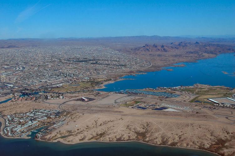
The Aubrey Hills in Arizona in the Lower Colorado River Valley corridor are a small, lower elevation, craggy mountain range bordering the southeast side of Lake Havasu. The range is about 16-mi (26 km) long trending exactly northwest-by-southeast.
Map of Aubrey Hills, Arizona 86406, USA
The southeast terminus of the range contains its highpoint, Peak 1537, 1,537 feet (468 m); the southeast end of the range also borders the short, west-flowing Bill Williams River. The moderate height mountains that parallel the range eastward is the Bill Williams Mountains.
References
Aubrey Hills Wikipedia(Text) CC BY-SA