
Postcode(s) 3393 Postal code 3393 | Elevation 112 m | |
 | ||
Location 352 km (219 mi) NW of Melbourne55 km (34 mi) N of Horsham15 km (9 mi) W of Warracknabeal | ||
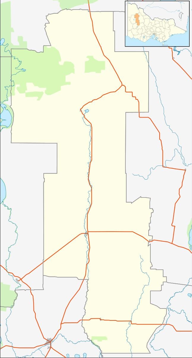
Aubrey is a town west of Warracknabeal in Victoria.
Map of Aubrey VIC 3393, Australia
One of the earliest settlers in Aubrey was Mr F Rodda, who came from South Australia and purchased land in Aubrey in 1892. Water was a particular problem to the early farmers as they depended entirely on catchment by tanks. When that water ran out, water needed to be carted from a shire dam over eight kilometres away, and after the dam went dry water needed to be sourced from 14 km away.
The Australasian describes the town in August 1915:
The town had a local hall which was in the town since at least 1905.
References
Aubrey, Victoria Wikipedia(Text) CC BY-SA