
Department Aisne Canton Saint-Simon Area 3.72 km² Population 271 (1999) | Intercommunality Saint-Simon Local time Wednesday 10:05 AM | |
 | ||
Weather 7°C, Wind SW at 24 km/h, 85% Humidity | ||
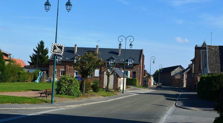
Aubigny-aux-Kaisnes is a French commune in the department of Aisne in the Hauts-de-France region of northern France.
Contents
- Map of 02590 Aubigny aux Kaisnes France
- Geography
- Administration
- Demography
- Notable people linked to the commune
- References
Map of 02590 Aubigny-aux-Kaisnes, France
The inhabitants of the commune are known as Aubinois or Aubinoises
Geography
Aubigny-aux-Kaisnes is located some 15 km south-west of Saint-Quentin and 5 km north-east of Ham. It can be accessed by road D930 which runs north-east from Ham and inside the north-western border of the commune towards Saint-Quentin. The D34 road also comes from Foreste in the north-west through the village and continuing to Bray-Saint-Christophe in the east. There is also a country road heading west from the village to Villers-Saint-Christophe. The commune consists entirely of farmland with no other villages or hamlets.
Administration
List of Successive Mayors of Aubigny-aux-Kaisnes
(Not all data is known)
Demography
In 2010 the commune had 242 inhabitants. The evolution of the number of inhabitants is known through the population censuses conducted in the town since 1793. From the 21st century, a census of municipalities with fewer than 10,000 inhabitants is held every five years, unlike larger towns that have a sample survey every year.
Sources : Ldh/EHESS/Cassini until 1962, INSEE database from 1968 (population without double counting and municipal population from 2006)