
Population 386 (2011 census) Elevation 430 m Local time Wednesday 7:05 PM | Postcode(s) 4401 Postal code 4401 | |
 | ||
Weather 22°C, Wind N at 5 km/h, 78% Humidity | ||
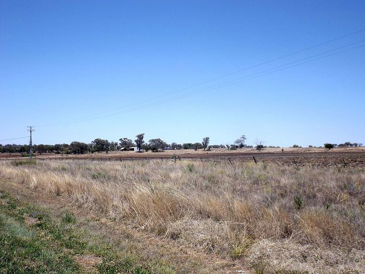
Aubigny is a town and locality in the Toowoomba Region, Queensland, Australia. At the 2011 census, Aubigny had a population of 386 people.
Contents
Map of Aubigny QLD 4401, Australia
History
Aubigny was at the centre of the Westbrook Homestead area. The town lots were offered for sale in the new town of Aubigny in December 1885, but only two lots were sold at that time, one to the Lutheran church and one to the Catholic church. St John's Lutheran Church opened in 1886 and is still operational.
Aubigny Post Office opened around September 1907 (a receiving office had been open since 1894) and closed in 1968.
Aubigny State School opened 24 January 1921 and closed about 1 December 1967.
The town was serviced by the Cecil Plains railway line between 1915 and 1994.
Tangkam
The former locality of Tangkam (27°28′59″S 151°40′00″E) is in the northern part of Aubigny. It took its name from the Tangkam railway station (27.4745°S 151.6725°E / -27.4745; 151.6725 (Tangkam railway station)) on the Cecil Plains railway line. The name Tangkam is believed to be an Aboriginal word meaning sour.