
Population 328 (2011) Postal code 4401 | Postcode(s) 4401 Biddeston WellcampWestbrook Local time Wednesday 7:45 PM | |
 | ||
Weather 21°C, Wind E at 19 km/h, 84% Humidity | ||
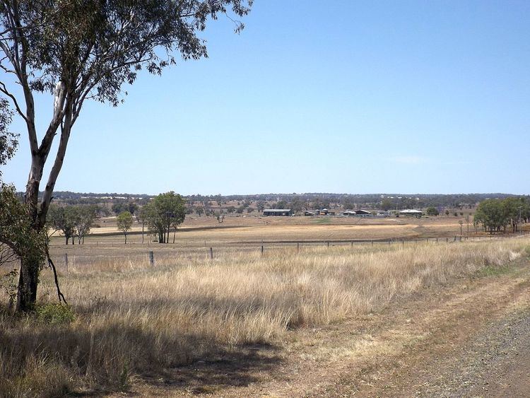
Biddeston is a rural town and locality in the Toowoomba Region, Queensland, Australia. In the 2011 census, Biddeston had a population of 328 people.
Contents
Map of Biddeston QLD 4401, Australia
History
A postal receiving office opened on 1 February 1882 and was upgraded to a post office on 1 July 1927. During that time it was run by the Anderson family of Biddeston Farm, which is probably the origin of the district name. The post office closed on 5 January 1965.
The town reserve was established on 26 August 1890.
In 1880, a 10-acre block of land on the Oakey-Southbrook Road was aside for a school. However, it was not until 14 October 1919 that the Biddeston State School finally opened, but with only a tent for a schoolroom for the 14 children enrolled under teacher Margaret Cecilla Cloherty Anderson. It was not until 10 October 1921 that the Education Department built a one-room timber building to replace the tent. Despite growing enrolment numbers, the Education Department would not enlarge the building apart from the addition of a verandah in 1927. It was not until 1954 that a second school room was built.
Education
Biddeston State School, a government primary (P-7) school, is located at 2425 Cecil Plains Road (27.55471°S 151.697581°E / -27.55471; 151.697581 (Biddeston State School)).
Events
The Biddeston Tractor Pull is an annual event in which restored and modified tractors compete to pull heavy loads.