
Area 5.07 km² | Canton Pont en Roya Population (2010) 359 | |
 | ||
Auberives-en-Royans is a French commune in the Isère department in the Auvergne-Rhône-Alpes region of south-eastern France.
Contents
- Map of 38680 Auberives en Royans France
- Geography
- Administration
- Demography
- Sites and monuments
- References
Map of 38680 Auberives-en-Royans, France
The inhabitants of the commune are known as Albaripains or Albaripaines.
Geography
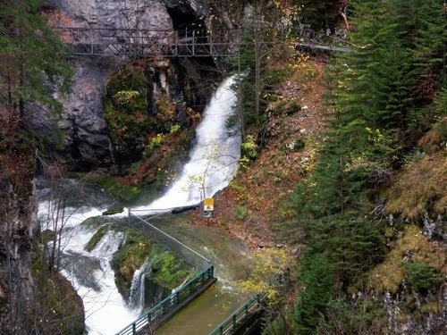
Auberives-en-Royans is located at the foot of the Vercors plateau in the Isère valley some 19 km east of Romans-sur-Isère and 11 km south of Saint-Marcellin. The southern border of the commune is the border between Isère and Drôme departments. Access to the commune is by the D531 road which branches from the D1532 east of Saint-Nazaire-en-Royans which passes through the south of the commune and the village and continues along the southern border east to Pont-en-Royans. The D518 road comes from Saint-Romans in the north and passes down the eastern border of the commune to Pont-en-Royans. The commune has some forests in the north and the rest is farmland.
The southern border of the commune consists entirely of the Bourne river as it flows west to join the Isère at Saint-Nazaire-en-Royans. The Tarze river flows through the centre of the commune from the north and joins the Bourne near the village. The Canal de la Bourne starts in the south-west of the commune and flows through the commune parallel to the Bourne towards the Isère.
Administration
List of Successive Mayors
(Not all data is known)
Demography
In 2010 the commune had 359 inhabitants. The evolution of the number of inhabitants is known from the population censuses conducted in the commune since 1793. From the 21st century, a census of communes with fewer than 10,000 inhabitants is held every five years, unlike larger towns that have a sample survey every year.
Sources : Ldh/EHESS/Cassini until 1962, INSEE database from 1968 (population without double counting and municipal population from 2006)