
District Westerwaldkreis Postal codes 57629 Area 2.74 km² Postal code 57629 Dialling code 02662 | Time zone CET/CEST (UTC+1/+2) Dialling codes 02662 Local time Wednesday 9:30 AM Population 648 (31 Dec 2008) | |
 | ||
Weather 4°C, Wind SW at 23 km/h, 89% Humidity | ||
B junioren tus rw koblenz vs jsg atzelgift
Atzelgift is an Ortsgemeinde – a community belonging to a Verbandsgemeinde – in the Westerwaldkreis in Rhineland-Palatinate, Germany.
Contents
- B junioren tus rw koblenz vs jsg atzelgift
- Map of 57629 Atzelgift Germany
- Location
- History
- Community council
- Transport
- References
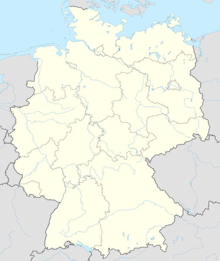
Map of 57629 Atzelgift, Germany
Location
The community lies in the Westerwald between Limburg and Siegen, and is a recognized health resort (Erholungsort). Through the community flows the river Kleine Nister. Atzelgift belongs to the Verbandsgemeinde of Hachenburg, a kind of collective municipality. Its seat is in the like-named town.
History
In 1396, Atzelgift had its first documentary mention under the name Hatzelgufte.
Community council
The council is made up of 12 council members who were elected by proportional representation in a municipal election on 25 May 2014.
Transport
South of the community runs Bundesstraße 414, which leads from Betzdorf to Hachenburg. The nearest Autobahn interchanges are in Siegen, Herborn and Wilsdorf on the A 45 (Dortmund–Gießen), roughly 25 km (16 mi) away. The nearest InterCityExpress stop is at the railway station at Montabaur on the Cologne-Frankfurt high-speed rail line.