
Population 1,321 (in 2011) Unitary authority Local time Wednesday 8:19 AM UK parliament constituency Chippenham | OS grid reference ST865660 Sovereign state United Kingdom Dialling code 01225 | |
 | ||
Weather 5°C, Wind SW at 10 km/h, 86% Humidity | ||
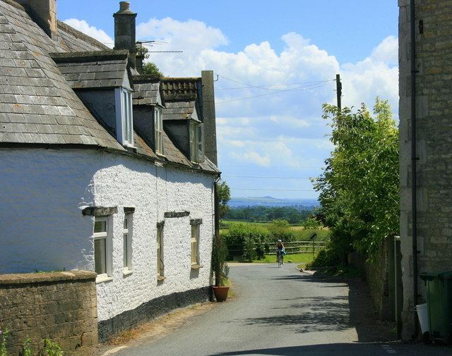
Atworth is a village and civil parish in west Wiltshire, England. The village is on the A365 road between Melksham and Box, about 2.5 miles (4 km) northwest of Melksham and 4 miles (6 km) northeast of Bradford on Avon.
Contents
- Map of Atworth UK
- History
- Atworth
- Great Chalfield
- Little Chalfield
- Cottles
- Geography
- Religious sites
- Amenities
- Landmarks
- References
Map of Atworth, UK
History
The present-day civil parish of Atworth was created in 1884 from four former parishes or tithings.
Atworth
Atworth, including Atworth village and the hamlets of Purlpit and West Hill, was a tithing in the northeast of the large ancient parish of Bradford on Avon. This land forms the northern half of the modern parish, with the Roman road from Silchester to Bath as its northern boundary.
A Roman villa (excavated in 1937 and 1971) was a short distance northwest of the present village of Atworth. Poplar Farmhouse is from the 15th century and Manor Farmhouse is from the early 18th century.
Great Chalfield
Great Chalfield (or East Chalfield), to the south of Atworth, was a separate parish until 1884. Great Chalfield Manor was built in the 15th century.
Little Chalfield
Little Chalfield (or West Chalfield) was a separate manor and, in the 14th and 15th centuries, a separate parish. There was a church or chapel, recorded in conveyances up to 1701, but then lost without trace. Little Chalfield became an extra-parochial area until the civil parish of Little Chalfield with Cottles was created in 1857. Little Chalfield Manor is from the early 19th century.
Cottles
Cottles (or Atworth Cottles) was part of the ancient parish of Bradford, then became extra-parochial until 1857. There is no present-day settlement but the name continues in Cottles Wood and Cottles House, a 16th-century building occupied since 1939 by Stonar School.
Geography
The South Brook, a small tributary of the Bristol Avon, passes close to Atworth and through Purlpit. Chalfield Brook, another tributary, passes both Chalfields and forms part of the southern boundary of the parish.
The Neston Park estate extends south into Atworth parish.
Religious sites
The Church of England parish church of St Michael and All Angels has a tower from 1451 which stands next to an 1832 building by H.E. Goodridge. The church is Grade II* listed. There has been a church on this site since the 11th century.
Atworth Independent Chapel was built in the 1790s. It is affiliated to the Fellowship of Independent Evangelical Churches.
A Baptist church, Ebenezer Church, was opened at Atworth in 1864 and closed in 1979.
All Saints church at Great Chalfield Manor is Grade I listed and dates from the 14th century.
Amenities
Atworth has a primary school called Churchfields, The Village School (not to be confused with Churchfields Academy, Swindon). The school building dates from 1828; until 1953 the school took pupils of all ages. Following the closure in 2006 of small schools at Monkton Farleigh and South Wraxall, the school has two sites: Atworth and Monkton Farleigh.
Stonar School at Cottles Park is an independent school for boarding and day pupils of all ages.
Atworth has a pub, the White Hart.
Landmarks
At least three village pumps survive.