
Population 315 (2011 census) Civil parish Atwick Local time Wednesday 8:14 AM | OS grid reference TA190509 Dialling code 01964 | |
 | ||
Weather 3°C, Wind SW at 16 km/h, 91% Humidity | ||
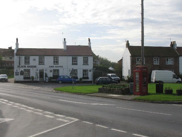
Atwick is a village and civil parish in Holderness in the East Riding of Yorkshire, England. The village is near the North Sea coast, and 2 miles (3.2 km) north of Hornsea on the B1242 road.
Contents
Map of Atwick, Driffield, UK
The civil parish is formed by the village of Atwick and the hamlet of Skirlington. According to the 2011 UK census, Atwick parish had a population of 315, a slight reduction from the 2001 UK census figure of 318. The parish covers an area of 907.022 hectares (2,241.30 acres).
Second World War
The Second World War defences constructed in and around Atwick have been documented by William Foot. They included a heavy anti-aircraft battery and several pillboxes.
Folklore
According to legend, a spring near the church was once the home of a hobgoblin known as the Haliwell Boggle. The area is also said to be haunted by a headless horseman.