
Department Aisne Intercommunality Pays du Vermandois Area 11.81 km² | Population (2012) 376 Local time Wednesday 8:18 AM | |
 | ||
Weather 5°C, Wind SW at 26 km/h, 88% Humidity | ||
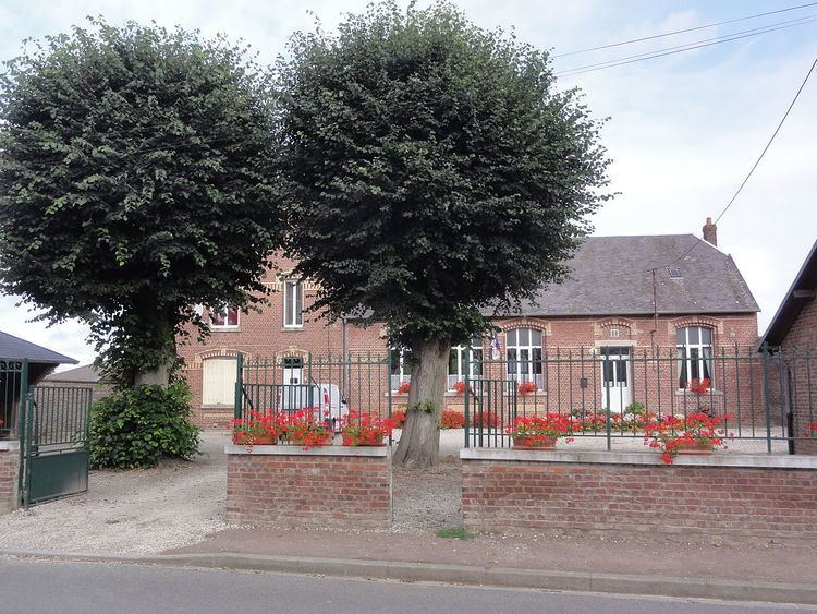
Attilly is a French commune in the department of Aisne in the Hauts-de-France region of northern France.
Contents
- Map of 02490 Attilly France
- Geography
- History
- Administration
- Demography
- Sites and Monuments
- Culture
- References
Map of 02490 Attilly, France
Inhabitants of the commune are traditionally referred to as "les Gens d'Attilly," or "the People of Attilly." For over 20 years, residents have debated whether their demonym should be Attillois or Attilliens; however, the Habitants website of French demonyms states that it should be Attilliens or Attilliennes
Geography
Attilly is located 5 km west of Saint-Quentin just north of the A29 autoroute which passes through the south-western corner of the commune. It can be accessed by several roads: the D73 from Beauvois-en-Vermandois in the south-west to Villeveque, the D733 from Etreillers in the south going north-west to Villeveque, the D33 going north from Etreillers to Attilly village and continuing north to Marteville and Vermand, the D73 from the D1029 in the north to Marteville, and the D686 from Holnon in the east to the village. There are three villages and hamlets in the commune:
Much of the commune is farmland however it is partly surrounded by the Forests of Holnon and Attilly.
The Omignon river passes along and forms the north-western border of the commune through Marteville and Villevèque.
History
The name Attilly is derived from a word translated as "overlooking the water" and probably owes its name to its position atop a hill. The origin of the name Attilly therefore probably dates back to a Roman villa. However, the region has been inhabited for much longer.
Charles Poette wrote a history at the beginning of the 20th century. The village was destroyed during the First World War: only a single wall was still standing at the end of the conflict on the Rue du Prozet.
Administration
List of Successive Mayors of Attilly
(Not all data is known)
Demography
In 2012 the commune had 376 inhabitants. The evolution of the number of inhabitants is known through the population censuses conducted in the town since 1793. From the 21st century, a census of municipalities with fewer than 10,000 inhabitants is held every five years, unlike larger towns that have a sample survey every year.
Sources : Ldh/EHESS/Cassini until 1962, INSEE database from 1968 (population without double counting and municipal population from 2006)
Sites and Monuments
Culture
The language spoken in Attilly is still a Picard dialect.