
Local time Wednesday 9:13 AM | Elevation 664 m | |
 | ||
Weather 29°C, Wind S at 2 km/h, 26% Humidity | ||
Location
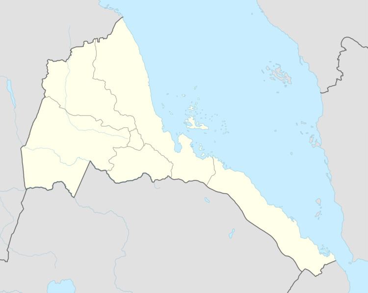
The town is located in Mogolo subregion in the Gash-Barka region. It is situated 4.1 miles from the district capital of Mogolo.
Nearby towns and villages include Hambok (7.4 nm), Mescul (5.7 nm), Aredda (5.1 nm), Chibabo (4.4 nm) and Abaredda (4.1 nm).
References
Attai Wikipedia(Text) CC BY-SA