
Country India District Jalandhar Time zone IST (UTC+5:30) Elevation 246 m Area code 01826 | State Punjab Tehsil Phillaur Telephone code 01826 Population 3,093 (2011) Government body Gram panchayat | |
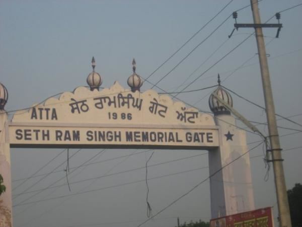 | ||
Atta (Punjabi: ਅੱਟਾ) is a village in Phillaur tehsil of Jalandhar District of Punjab State, India. It is situated on national highway 1 and located 2.2 km away from Goraya, 18 km from Phillaur, 45.8 km from Jalandhar, and 112 km from state capital Chandigarh. The village is administrated by Sarpanch who is elected representative of village.
Contents
Map of Atta, Punjab 144418
Caste
The village has schedule caste (SC) constitutes 41.16% of total population of the village and it doesn't have any Schedule Tribe (ST) population.
Education
The village has a Punjabi Medium, Co-educational primary school (Govt. Primary School Atta) and J.S.F.H. Khalsa Senior Sec. School is 1.5 km away from the village.
Rail
The nearest train station is situated in Goraya and Ludhiana Jn Railway Station is 31 km away from the village.
Air
The nearest domestic airport is 47 km away in Ludhiana and the nearest international airport is 130 km away in Amritsar other nearest international airport is located in Chandigarh.