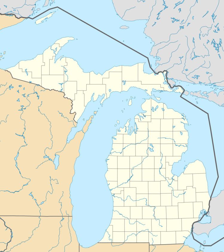
Country United States County Genesee FIPS code 26-04000 Elevation 258 m Local time Tuesday 6:57 PM | Time zone EST (UTC-5) Area 93.2 km² Population 7,993 (2010) Area code 810 | |
 | ||
Weather 11°C, Wind S at 13 km/h, 96% Humidity | ||
Atlas Township is a general law township of Genesee County in the U.S. state of Michigan. As of the 2010 census, the township population was 7,993, up from 7,257 at the 2000 census.
Contents
Map of Atlas Township, MI, USA
History
Atlas Township was organized in 1836 as part of Lapeer County, and was one of the earliest townships in this region to receive settlers. The first settler was Asa Farrar, who, in September, 1839, purchased land on section 18 and built a log house upon it the same year. He was a brother of Pearson Farrar, who settled the same year in Grand Blanc upon an adjacent section. They came from Monroe County, New York. The first birth and the first marriage in the township occurred in Asa Farrar's family, respectively, in 1833 and 1834. The township was detached from Lapeer County and added to Genesee County in 1843.
Communities
Geography
According to the United States Census Bureau, the township has a total area of 36.0 square miles (93 km2), of which 35.4 square miles (92 km2) is land and 0.6 square miles (1.6 km2) (1.67%) is water.
Demographics
As of the census of 2000, there were 7,257 people, 2,442 households, and 2,053 families residing in the township. The population density was 205.2 per square mile (79.2/km²). There were 2,554 housing units at an average density of 72.2 per square mile (27.9/km²). The racial makeup of the township was 97.56% White, 0.33% African American, 0.32% Native American, 0.51% Asian, 0.12% Pacific Islander, 0.25% from other races, and 0.91% from two or more races. Hispanic or Latino of any race were 1.07% of the population.
There were 2,442 households out of which 44.5% had children under the age of 18 living with them, 76.3% were married couples living together, 5.1% had a female householder with no husband present, and 15.9% were non-families. 13.3% of all households were made up of individuals and 3.8% had someone living alone who was 65 years of age or older. The average household size was 2.94 and the average family size was 3.24.
In the township the population was spread out with 29.7% under the age of 18, 5.6% from 18 to 24, 31.8% from 25 to 44, 26.2% from 45 to 64, and 6.8% who were 65 years of age or older. The median age was 37 years. For every 100 females there were 106.7 males. For every 100 females age 18 and over, there were 103.6 males.
The median income for a household in the township was $73,720, and the median income for a family was $78,349. Males had a median income of $59,213 versus $32,156 for females. The per capita income for the township was $27,960. About 2.6% of families and 4.0% of the population were below the poverty line, including 3.2% of those under age 18 and 5.1% of those age 65 or over.
