
Population 277 (2011 census) Postal code 4350 | Postcode(s) 4350 | |
 | ||
Location 20 km (12 mi) west of Toowoomba128 km (80 mi) west of Brisbane | ||
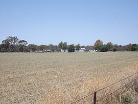
Athol is a rural locality in the Toowoomba Region, Queensland, Australia. In the 2011 census, Athol had a population of 277 people.
Contents
Map of Athol QLD 4350, Australia
Geography
The Gore Highway passes through Athol. The Toowoomba Second Range Crossing will join the Gore Highway at Athol and is planned to be completed by 2018.
History
Westbrook Provisional School opened on 25 July 1887. In 1903, it was renamed Athol Provisional School and became Athol State School on 1 October 1910. It closed on 20 July 1962.
References
Athol, Queensland Wikipedia(Text) CC BY-SA