
Intercommunality Portes de l'Essonne Area 8.56 km² | Region Île-de-France Canton Athis-Mons Population (2005) 30,858 Local time Tuesday 5:50 AM | |
 | ||
Weather 4°C, Wind SW at 24 km/h, 81% Humidity Points of interest Musée Delta, Monument aux Morts des guerr, Stèle du Général de Gaulle | ||
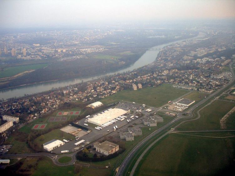
Athis-Mons ([atisˈmɔ̃s]) is a commune in the southern suburbs of Paris, France. It is located 16.5 km (10.3 mi) from the center of Paris.
Contents
Map of Athis-Mons, France
Inhabitants are called Athégiens.
A small part of Orly International Airport lies on the territory of the commune of Athis-Mons.
History
Athis-Mons was formed in 1817 by joining two villages, Athis (along the Seine, and formerly known as Athis-sur-Orge) and Mons (on the adjacent plateau). Nowadays the lower area of the commune is commonly called Athis-Val.
A significant portion (approximately 80%) of Athis-Mons was destroyed during the Allied bombing raid of 18 April 1944. Approximately 300 people died and 4,000 people were left homeless. Athis-Mons had to be entirely rebuilt after the war.
Geography
Athis-Mons is located at the confluence of Orge and Seine rivers, and at the southern edge of the international airport of Orly.
Administration
The canton of Athis-Mons has 2 communes (the other is Paray-Vieille-Poste) and 36,615 inhabitants. Athis-Mons is a twin town of Ballina in Ireland.
Transport
Athis-Mons is served by Athis-Mons station on Paris RER line C.
Education
The commune has nine preschools (écoles maternelles) and eight elementary schools (écoles élémentaires).
There is a private Catholic school, Groupe scolaire Saint-Charles d'Athis-Mons.