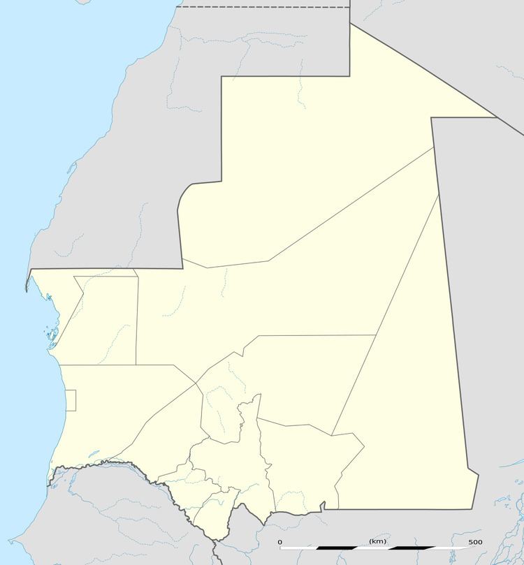
Airport type Public 04/22 3,004 Code ATR | Owner Government Elevation AMSL 758 ft / 231 m 3,004 9,855 Elevation 231 m | |
 | ||
Address Atar, Islamic Republic of Mauritania | ||
Atar Airport or Atar International Airport (IATA: ATR, ICAO: GQPA) is an airport serving Atar, a town in the Adrar Region of Mauritania.
World War II
During World War II, the airport was used by the United States Army Air Forces Air Transport Command as a stopover for cargo, transiting aircraft and personnel on the North African Cairo-Dakar transport route for cargo, transiting aircraft and personnel. It connected to Dakar Airport in the South and Agadir Airport to the north.
References
Atar International Airport Wikipedia(Text) CC BY-SA
