
Department Cesar Elevation 200 m (700 ft) Area 563.1 km² | Region Caribbean Foundation 1936 Website astrea-cesar.gov.co Local time Monday 4:22 PM | |
 | ||
Weather 37°C, Wind NE at 16 km/h, 26% Humidity | ||
Se suicid un hombre en astrea cesar
Astrea is a municipality and town of the Department of Cesar in northern Colombia.
Contents
- Se suicid un hombre en astrea cesar
- Map of Astrea Cesar Colombia
- Geography
- History
- Administrative divisions
- Economy
- Culture
- References
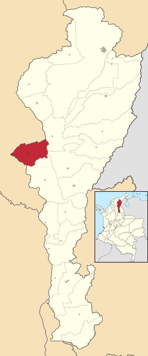
Map of Astrea, Cesar, Colombia
Geography
The municipality of Astrea limits to the north with the municipality of El Paso and northewest with Magdalena Department; to the south with the municipality of Chiriguana. It has an extension of 580 km². The average temperature throughout the year is 30 °C.
The region is part of the geological Zambrano formation, formed in the Neogene presenting a gray-greenish clay.
History
Founded by a farmer named Martín Mier Barbosa in 1936 when a group of farmers from the Magdalena Department arrived seeking better pastures.
After the creation of the Department of Cesar in 1964 Astrea became a corregimiento of the municipality of Chimichagua. On November 26, 1984 Astrea segregated from Chimichagua and became a municipality of the Department of Cesar by Ordinance 013 of 1984.
Administrative divisions
Economy
Ranching and agriculture are the main economic activity in the region having the town of Astrea as the main urban center of the municipality. Agricultural products are commercialized in the town such as; yuca, sesame, corn and common bean among others.
Culture
Astrea celebrates the Día de San Antonio de Pádua (Saint Anthony of Pádua) Day in the corregimiento of Arjona, every year on June 16. Astrea also celebrates a traditional feast honoring the Día de San Martín (St. Martin's Day) every November 11.