
OS grid reference SP497510 Dialling code 01295 | Sovereign state United Kingdom Local time Monday 8:20 PM | |
 | ||
Population 334 (2001 census)293 (2011 census) Weather 3°C, Wind SW at 14 km/h, 88% Humidity | ||
Aston le walls all weather xc training 26 1 16 romeo z and leonidas 103
Aston le Walls is a village and civil parish in South Northamptonshire, England, close by the border with Oxfordshire. The village is about 9 miles (14.5 km) north of Banbury in Oxfordshire, and 10 miles (16.1 km) south of Daventry. Neighbouring villages are Chipping Warden, Lower Boddington Upper Boddington and Byfield. According to the 2001 census the village had a population 0f 334 falling to 293 at the 2011 census.
Contents
- Aston le walls all weather xc training 26 1 16 romeo z and leonidas 103
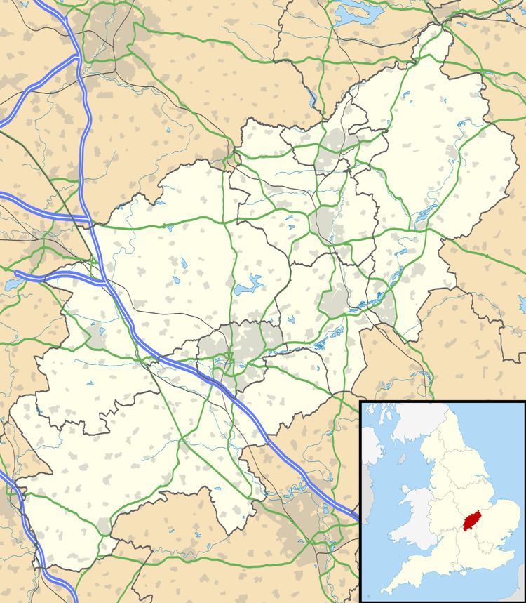
- Map of Aston le Walls Daventry UK
- Aston le walls be100 full xc video an eventful life
- Buildings
- References
Map of Aston le Walls, Daventry, UK
Aston le walls be100 full xc video an eventful life
Buildings
The church is dedicated to St Leonard and dates from the 13th century and was restored in the 1870s.
There is a Roman Catholic chapel north east of the church dated 1827.
The Manor House is ca 1700.
Washbrook Farm, is an equestrian eventing centre.
References
Aston le Walls Wikipedia(Text) CC BY-SA