
Time zone CST (UTC-6) Area 111 km² Population 1,418 (2010) | Established November 7, 1865 Elevation 194 m Local time Sunday 10:23 PM | |
 | ||
ZIP codes 62510, 62550, 62555, 62557 Weather 3°C, Wind S at 14 km/h, 69% Humidity | ||
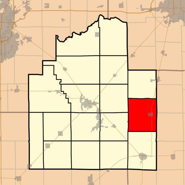
Assumption Township is one of seventeen townships in Christian County, Illinois, USA. As of the 2010 census, its population was 1,418 and it contained 680 housing units.
Contents
- Map of Assumption Township IL USA
- Geography
- Cities towns villages
- Unincorporated towns
- Cemeteries
- Major highways
- School districts
- Political districts
- References
Map of Assumption Township, IL, USA
Geography
According to the 2010 census, the township has a total area of 42.84 square miles (111.0 km2), all land.
Cities, towns, villages
Unincorporated towns
Cemeteries
The township contains Saint Marys Cemetery.
Major highways
School districts
Political districts
References
Assumption Township, Christian County, Illinois Wikipedia(Text) CC BY-SA