
Canton Bouilly Area 3.42 km² | Intercommunality Bouilly-Mogne-Aumont Local time Monday 12:55 AM | |
 | ||
Weather 10°C, Wind S at 18 km/h, 84% Humidity | ||
Banda assenay ao vivo
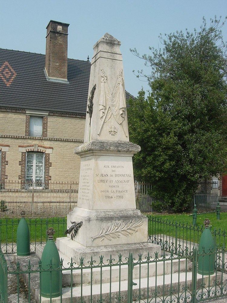
Assenay is a French commune in the Aube department in the Grand Est region of north-central France.
Contents
- Banda assenay ao vivo
- Map of Assenay France
- Banda assenay can o do cora o
- Geography
- Administration
- Demography
- References
Map of Assenay, France
The inhabitants of the commune are known as Asnacussiens.
Banda assenay can o do cora o
Geography
Assenay is located some 12 km south of Saint-André-les-Vergers and 4 km east by north-east of Villery. Access to the commune is by the D1 23 road from Saint-Jean-de-Bonneval in the south-west passing through the village and continuing to Villy-le-Maréchal in the north-east. The D 25 road from Saint-Jean-de-Bonneval to Moussey also passes through the north of the commune. Apart from a few scattered patches of forest the commune is entirely farmland.
The Mogne river flows through the south of the commune from south-west to north-east. The Ruisseau d'Ormont flows eastwards through the village to join the Mogne east of the commune.
Administration
List of Successive Mayors
(Not all data is known)
Demography
In 2010 the commune had 151 inhabitants. The evolution of the number of inhabitants is known from the population censuses conducted in the commune since 1793. From the 21st century, a census of communes with fewer than 10,000 inhabitants is held every five years, unlike larger towns that have a sample survey every year.
Sources : Ldh/EHESS/Cassini until 1962, INSEE database from 1968 (population without double counting and municipal population from 2006)