
Vehicle registration ΚΗ Municipality Agrafa | Time zone EET (UTC+2) Local time Monday 12:20 AM | |
 | ||
Weather 5°C, Wind NE at 10 km/h, 89% Humidity | ||
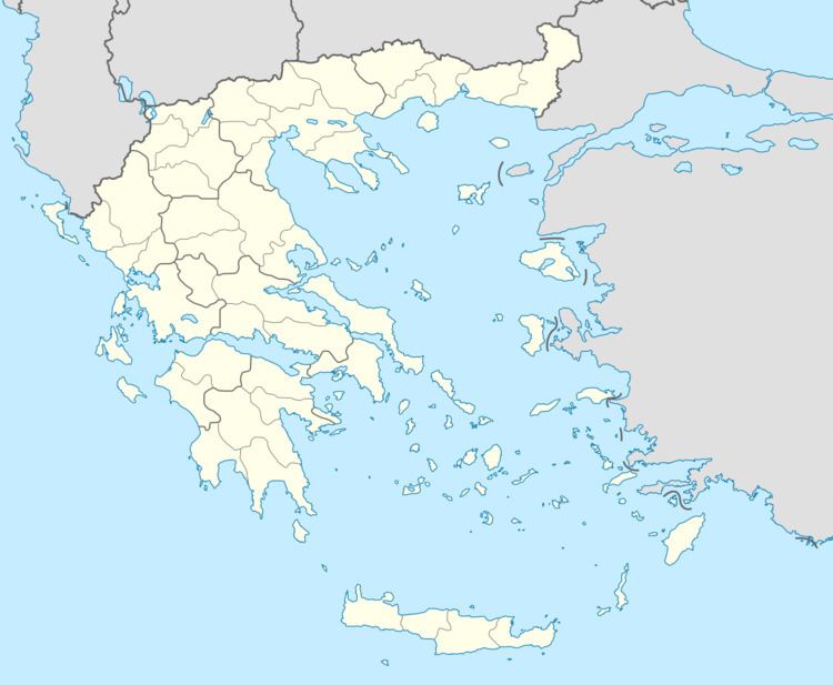
Aspropotamos (Greek: Ασπροπόταμος) is a former municipality in the northwestern part of Evrytania, Greece. Since the 2011 local government reform it is part of the municipality Agrafa, of which it is a municipal unit. The municipal unit has an area of 125.954 km2. Population 1,581 (2011). The seat of the municipality was in Raptopoulo. Aetolia-Acarnania is to the west and the Karditsa regional unit to the north. Aspropotamos is located west-southwest of Karditsa, northwest of Karpenisi and north-northeast of Agrinio.
Contents
Map of Aspropotamos 360 70, Greece
Subdivisions
The municipal unit Aspropotamos is subdivided into the following communities (constituent villages in brackets):
Other
Aspropotamos has a few schools, a lyceum (middle school), a gymnasium (secondary school) a few churches, banks, a post office.