
Population 578 (2011 Census) Unitary authority Local time Sunday 10:10 PM Post town Borough of Milton Keynes | OS grid reference SP926353 Sovereign state United Kingdom | |
 | ||
Weather 8°C, Wind SW at 26 km/h, 93% Humidity | ||
ear
Map of Aspley Heath, UK
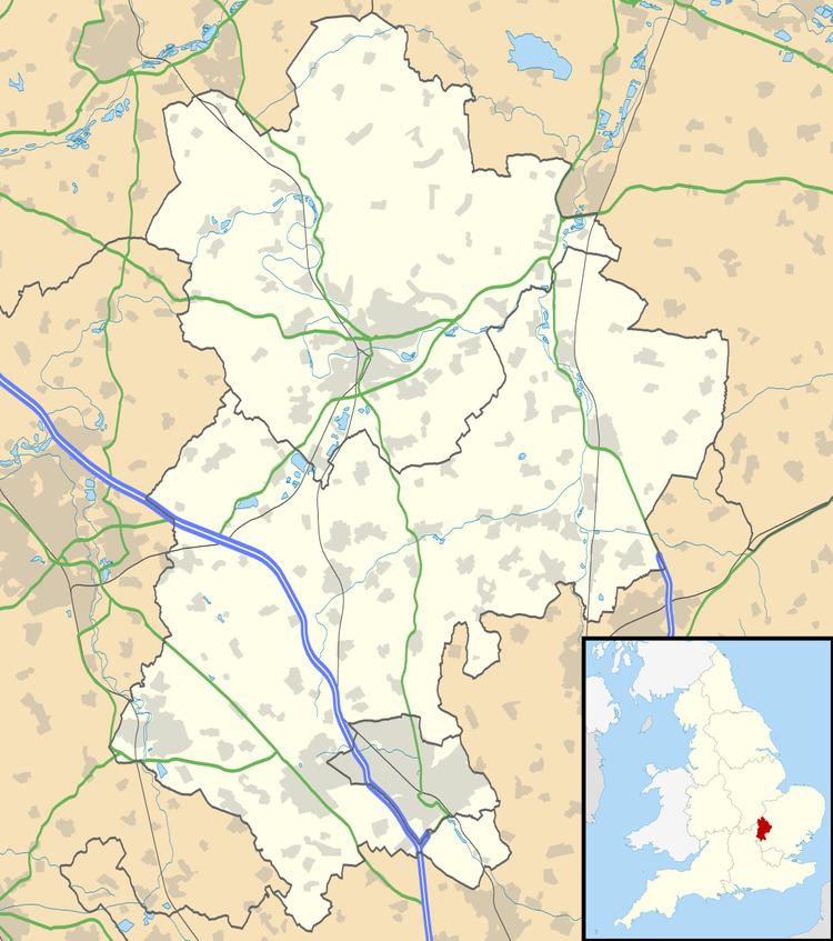
Aspley Heath is a village and civil parish in the Central Bedfordshire district of Bedfordshire, England, elevated and small in population and area, mostly covered by New Wavendon Heath and a smaller mixed eponymous woodland. It was until some time after 1912 part of Aspley Guise.
The village borders Aspley Guise to the northeast, Woburn to the south, and Woburn Sands village and parish, to the north and northwest which is in the borough of Milton Keynes in Buckinghamshire.
References
Aspley Heath Wikipedia(Text) CC BY-SA