
Department Ain Canton Bâgé-le-Châtel Area 4.68 km² Population 69 (1999) | Intercommunality Pays de Bâgé Local time Sunday 9:01 PM | |
 | ||
Weather 7°C, Wind W at 5 km/h, 66% Humidity | ||
Beton imprime asni res sur sa ne 01570 france www betonimprimeart fr youtube
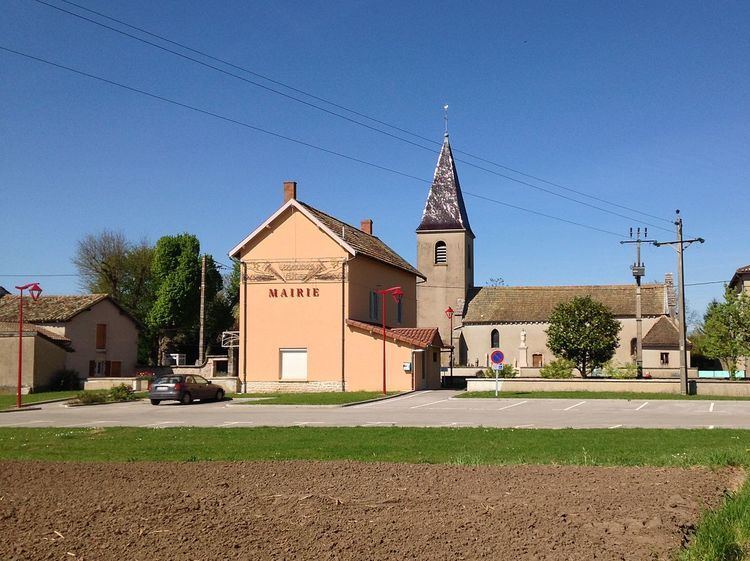
Asnières-sur-Saône is a French commune in the Ain department in the Auvergne-Rhône-Alpes region of eastern France.
Contents
- Beton imprime asni res sur sa ne 01570 france www betonimprimeart fr youtube
- Map of 01570 AsniC3A8res sur SaC3B4ne France
- Geography
- History
- Administration
- Twinning
- Demography
- Sites and monuments
- Protected natural areas
- Notable people linked to the commune
- References
Map of 01570 Asni%C3%A8res-sur-Sa%C3%B4ne, France
The inhabitants of the commune are known as Asniérois or Asniéroises
Geography
Asnières-sur-Saône is on the bank of the Saône river some 15 km north of Mâcon and 50 km south of Chalons-sur-Saône. The commune can be accessed on the D18 road from Quart-d'Aval in the north-east to the village. The road continues south as the D1 road then turns south-east to Manziat. The D1E branches off in the south of the commune and goes south to Le Chateau. The commune consists entirely of farmland with no other villages or hamlets.
The Saône river forms the entire western border of the commune with no bridges across the river. A canal runs parallel to the river joining the river in the south and joining the Bief de la Jutane in the north which forms part of the northern border.
History
The village can be traced back to the 10th century under the name Asnerias. It was the possession of the Counts of Mâcon and Cluny Abbey.
Administration
Mayors of Asnières-sur-Saône
(Not all data is known)
Twinning
Asnières-sur-Saône has twinning associations with:
Demography
In 2010, the commune had 73 inhabitants. The evolution of the number of inhabitants is known through the population censuses conducted in the town since 1793. From the 21st century, a census of municipalities with fewer than 10,000 inhabitants is held every five years, unlike larger towns that have a sample survey every year.
Sources : Ldh/EHESS/Cassini until 1962, INSEE database from 1968 (population without double counting and municipal population from 2006)
Sites and monuments
Protected natural areas
The floodplains of the Val de Saône have been classified as protected areas since 1994.