
Country United States FIPS code 01-02908 Elevation 176 m Population 2,253 (2013) Area code 205 | Time zone Central (CST) (UTC-6) GNIS feature ID 0164539 Zip code 35953 Local time Sunday 10:12 AM | |
 | ||
Weather 8°C, Wind E at 13 km/h, 41% Humidity Area 50.25 km² (49.99 km² Land / 26 ha Water) | ||
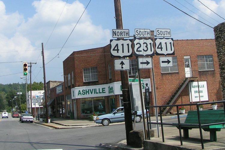
Ashville is a city in St. Clair County, Alabama, United States. Its population was 2,212 at the 2010 census, down from 2,260, at which time it was a town. Ashville is the county seat of St. Clair County along with Pell City. It incorporated in 1822.
Contents
- Map of Ashville AL USA
- Geography
- Climate
- 2000 Census data
- 2010 census
- April 27 2011 Tornado
- Education
- Notable people
- References
Map of Ashville, AL, USA
Geography
Ashville is located at 33°50′37″N 86°15′59″W (33.843737, -86.266274).
According to the United States Census Bureau, the town had a total area of 19.4 square miles (50 km2), of which 19.3 square miles (50 km2) is land and 0.1 square miles (0.26 km2) (0.46%) is water.
Climate
The climate in this area is characterized by hot, humid summers and generally mild to cool winters. According to the Köppen Climate Classification system, Ashville has a humid subtropical climate, abbreviated "Cfa" on climate maps.
2000 Census data
As of the census of 2000, there were 2,260 people, 814 households, and 608 families residing in the town. The population density was 116.9 people per square mile (45.1/km2). There were 905 housing units at an average density of 46.8 per square mile (18.1/km2). The racial makeup of the town was 69.42% White, 26.55% Black or African American, 0.18% Native American, 0.18% Asian, 0.31% Pacific Islander, 1.81% from other races, and 1.55% from two or more races. 2.88% of the population were Hispanic or Latino of any race.
There were 814 households out of which 37.0% had children under the age of 18 living with them, 56.6% were married couples living together, 14.1% had a female householder with no husband present, and 25.2% were non-families. 22.7% of all households were made up of individuals and 11.2% had someone living alone who was 65 years of age or older. The average household size was 2.64 and the average family size was 3.10.
In the town the population was spread out with 25.7% under the age of 18, 8.9% from 18 to 24, 28.2% from 25 to 44, 23.2% from 45 to 64, and 14.0% who were 65 years of age or older. The median age was 36 years. For every 100 females there were 102.3 males. For every 100 females age 18 and over, there were 100.1 males.
The median income for a household in the town was $31,509, and the median income for a family was $38,355. Males had a median income of $31,081 versus $21,914 for females. The per capita income for the town was $15,867. About 11.4% of families and 15.1% of the population were below the poverty line, including 14.1% of those under age 18 and 18.3% of those age 65 or over.
2010 census
As of the census of 2010, there were 2,212 people, 793 households, and 597 families residing in the town. The population density was 114.6 people per square mile (40.1/km2). There were 888 housing units at an average density of 46.0 per square mile (17.7/km2). The racial makeup of the town was 75.8% White, 20.3% Black or African American, 0.2% Native American, 03% Asian, 0% Pacific Islander, 1.4% from other races, and 2.0% from two or more races. 3.8% of the population were Hispanic or Latino of any race.
There were 793 households out of which 29.6% had children under the age of 18 living with them, 54.9% were married couples living together, 16.6% had a female householder with no husband present, and 24.7% were non-families. 21.8% of all households were made up of individuals and 9.0% had someone living alone who was 65 years of age or older. The average household size was 2.68 and the average family size was 3.12.
In the town the population was spread out with 24.0% under the age of 18, 10.0% from 18 to 24, 25.9% from 25 to 44, 26.9% from 45 to 64, and 13.3% who were 65 years of age or older. The median age was 37.3 years. For every 100 females there were 99.6 males. For every 100 females age 18 and over, there were 100.3 males.
The median income for a household in the town was $33,321, and the median income for a family was $34,607. Males had a median income of $32,026 versus $30,033 for females. The per capita income for the town was $16,419. About 14.2% of families and 19.9% of the population were below the poverty line, including 32.0% of those under age 18 and 6.2% of those age 65 or over.
April 27, 2011 Tornado
On the eve of April 27, 2011, an EF-4 tornado ripped through the Shoal Creek Valley community of Ashville, killing 13 residents and destroying hundreds of homes and hundreds of thousands of dollars worth of property. The area was so devastated that Governor Robert Bentley visited the community along with officials from the Alabama Emergency Management Agency and the Federal Emergency Management Agency. The community received both federal and state disaster aid several weeks following the breakout. Rescuers from nearby Ragland, and other towns throughout the county, immediately responded after the devastation occurred. Curfew and property protection policies were instituted during the week after the storm, protecting residents from fraudulent home builders and insurance agencies.