
Length 64 km Source Monroe Township Country United States of America | Source elevation 259 m | |
 | ||
Main source Confluence of east and west branches in Monroe Township, Ashtabula County850 feet (260 m) Basin size 137 square miles (350 km) Bridges West Fifth Street Bridge, Benetka Road Covered Bridge, Smolen–Gulf Bridge, Olin's Covered Bridge Similar Lake Erie, Smolen–Gulf Bridge, West Fifth Street Bridge, Benetka Road Covered, Indian Trails Park | ||
Ashtabula river part 1
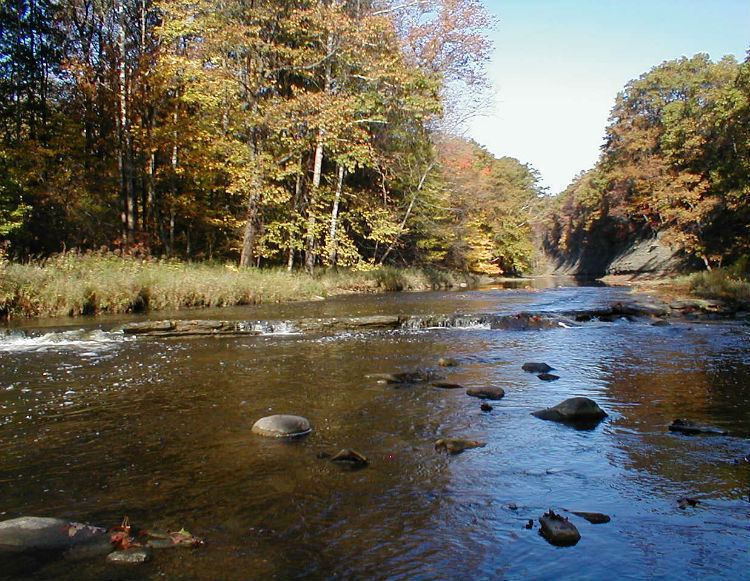
The Ashtabula River is a river located northeast of Cleveland in Ohio. The river flows into Lake Erie at the city of Ashtabula, Ohio. It is 40 miles (64 km) in length and drains 137 square miles (350 km2).
Contents
- Ashtabula river part 1
- Map of Ashtabula River Ohio USA
- Rookie catches fish in ashtabula river ashtabula ohio
- NameEdit
- WatershedEdit
- PollutionEdit
- TributariesEdit
- References
Map of Ashtabula River, Ohio, USA
Rookie catches fish in ashtabula river ashtabula ohio
NameEdit
Ashtabula derives from Lenape language ashte-pihële, 'always enough (fish) to go around, to be given away', a contraction from apchi 'always' + tepi 'enough' + hële (verb of motion).
According to the Geographic Names Information System, the Ashtabula River has also been known as:
WatershedEdit
On October 30, 2008 the river was designated a State Scenic River by the Director of the Ohio Department of Natural Resources.
PollutionEdit
In 1985 the first two miles of the river was named an Area of Concern by the International Joint Commission, primarily because of Fields Brook, a tributary that had received discharges from 19 industries between the 1940s and 1970s. The cleanup was deemed complete in 2014.