
Country India District North 24 Parganas PIN 743222,
743272 Local time Sunday 8:54 PM | State West Bengal Time zone IST (UTC+5:30) Telephone code (std_code) +913216 Named for Ashoke Kumar Sen | |
 | ||
Weather 22°C, Wind SE at 8 km/h, 52% Humidity University Netaji Satabarshiki Mahavidyalaya Neighborhoods A G Colony, Kankpul, Chowrangee | ||
Ashokenagar Kalyangarh (Bengali: অশোকনগর কল্যাণগড়) is a city and a municipality under Ashoknagar police station of Barasat Sadar subdivision in North 24 Parganas district in the state of West Bengal, India.
Contents
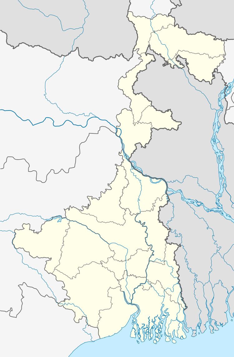
- Map of Ashoknagar Kalyangarh West Bengal
- History
- Geography
- Demographics
- Education
- WBBSE affiliated schools
- WBCHSE affiliated schools
- ICSE affiliated schools
- College
- Railway System
- Road
- Politics
- References
Map of Ashoknagar Kalyangarh, West Bengal
Ashokenagar has a heritage of political consciousness, education and cultural movements. Ashokenagar Kalyangarh was planned by Dr. B.C Roy and later named after the leader Ashoke Kumar Sen. Principal architects of Ashokenagar Kalyanagarh were late Congress leader Tarun Kanti Ghosh, late congress leader Keshab Bhattacharjee, late CPI leader Dr. Sadhan Sen, late CPI(M) leader Bikash Ray Chaudhuri,late CPI(M) leader Nani Kar and Late Chitta Ranjan Basu (CPI-Leader of the common man).
The area has two parks - Sanghati Park and Millennium Science Park. There are two English medium schools in Ashokenagar. The area is well connected to Kolkata through rail and road networks.
Ashokenagar has the Kalyani Spinning Mill. It previously had a unit of RIC and a chemicals factory both of which were closed down by the state government.
History
In the British period it was a Royal Air Force (RAF) station, an airfield. Four hangars of the RAF still stand as the remnants of the bygone era. After Independence Dr. Bidhan Chandra Roy, the then CM of West Bengal developed that airfield to a planned city. Formerly this place was known as "Habra Urban Colony". Later its north-east portion was named "Kalyangarh" and then its south-west portion was named "Ashokenagar".
Geography
Ashokenagar is located at 22.833°N 88.633°E / 22.833; 88.633.
Demographics
As of 2011 India census, Ashokenagar Kalyangarh had a population of 123,906. Males constitute 62,554 of the population and females 61,352. The 0–6 years population was 8,885. Ashokenagar Kalyangarh had an average literacy rate of 92.45%.
Education
It has a very high literacy rate there(92.45% according to census 2011). There are high schools for girls and boys, and a large number of primary schools (government and private).
WBBSE affiliated schools
WBCHSE affiliated schools
ICSE affiliated schools
College
Railway System
Ashokenagar Road is 41 kilometres (25 mi) from Sealdah Station and 18 km from Barasat on the Sealdah-Bangaon branch line of Eastern Railway. It is part of the Kolkata Suburban Railway system. Ashoknagar Road is directly connected on NH 35 (Jessore Road).
Road
Buses from Habra Bus Terminal are directly connected to Naihati, Maslandapur, Madhyamgram, Bangaon, Barasat, Nagarukhra, Kalyani, Basirhat, Kolkata, Bagdah, Chakdah, Bagjola, Digha, Durgapur, Bandel, Baruipur, Howrah, Badkulla, krishnanagar, Barasat, Alampur, Dattaphulia, Nimta, Sodepur, Duttapukur, Jagulia. Ashoknagar Bypass Road is directly connected on NH 35 (Jessore Road) & NH 34 (Kolkata to Siliguri).
The NH 35, commonly known as Jessore Road initiating from Belgacchia Road (Nani Kar Soroni) Kolkata passes through the town heading towards Bangladesh through the border town Bongaon, approximately 38 km from Ashoknagar.
The town is well connected by road and railway to Kolkata. It is also connected to Naihati and the Habra Jirat Road.
The town is a very planned one, divided into 23 municipal wards. The town being originally planned as a township to rehabilitate the refugee influx after partition, it contains beautiful housing plots under several schemes(areas or regions in the town).
Politics
Ashokenagar was once a bastion of Left politics.The area was witness to the food movements of 1959 and 1966, refugee, students' and teachers' movements kept the locality politically vibrant till 1977. When the assembly segment was created for the first time in 1967, it was won by Dr. Sadhan Sen of the CPI. He held the seat in 1969 also. Nani Kar of CPI(M) defeated Keshab Chandra Bhattachatjee of INC/Ind in 1991, 1987, 1982 1977 and 1971. Keshab Chandra Bhattacharuiya of Independent defeated Nani Kar of CPI(M) in 1972. In 1996, Nirod Roy Choudhury of CPI(M) defeated Dhiman Roy of INC. After the sudden death of Nirod Roy Choudhury, Mr. Badal Bhattacharjee of BJP defeated the CPIM candidate Rekha Goswami by the big support of Trinomool Congress in 1998.
In 2001, Sharmistha Dutta of CPI(M) defeated Ashok Krishna Dutta of AITC. Satyasebi Kar of CPI(M) won the Ashoknagar assembly seat in 2006 defeating Dhiman Roy of AITC. Dhiman Roy of AITC defeated Satyasebi Kar of CPIM in 2011 assembly election by huge margin. In 2016, Dhiman Roy of AITC defected Satyasebi Kar of CPIM again.