
Country United States Time zone CST (UTC-6) Area 139.1 km² Population 1,364 (2010) | Established November 8, 1859 Elevation 211 m Local time Sunday 9:11 AM | |
 | ||
ZIP codes 61912, 61920, 61933, 61943 62474 Weather 1°C, Wind S at 26 km/h, 53% Humidity | ||
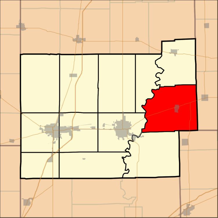
Ashmore Township is one of twelve townships in Coles County, Illinois, USA. As of the 2010 census, its population was 1,364 and it contained 605 housing units.
Contents
- Map of Ashmore Township IL USA
- Geography
- Cities towns villages
- Extinct towns
- Cemeteries
- Major highways
- Airports and landing strips
- School districts
- Political districts
- References
Map of Ashmore Township, IL, USA
Geography
According to the 2010 census, the township has a total area of 53.69 square miles (139.1 km2), of which 53.59 square miles (138.8 km2) (or 99.81%) is land and 0.1 square miles (0.26 km2) (or 0.19%) is water.
Cities, towns, villages
Extinct towns
Cemeteries
The township contains these ten cemeteries: Ashmore, Brooks, Enon, Lafler, Miller, Patsy Mitchell, Reed, Saint Omer, Shoot and Zimmerman.
Major highways
Airports and landing strips
School districts
Political districts
References
Ashmore Township, Coles County, Illinois Wikipedia(Text) CC BY-SA