
ZIP codes 46120, 46151, 46166 Elevation 244 m Population 1,720 (2010) | Time zone Eastern (EST) (UTC-5) GNIS feature ID 0453092 Area 82.54 km² Local time Sunday 9:40 AM | |
 | ||
Weather -2°C, Wind S at 13 km/h, 64% Humidity | ||
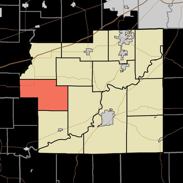
Ashland Township is one of fourteen townships in Morgan County, Indiana, United States. As of the 2010 census, its population was 1,720 and it contained 694 housing units.
Contents
- Map of Ashland Township IN USA
- Geography
- Unincorporated towns
- Cemeteries
- Lakes
- School districts
- Political districts
- References
Map of Ashland Township, IN, USA
Geography
According to the 2010 census, the township has a total area of 31.87 square miles (82.5 km2), of which 31.76 square miles (82.3 km2) (or 99.65%) is land and 0.11 square miles (0.28 km2) (or 0.35%) is water.
Unincorporated towns
Cemeteries
The township contains these two cemeteries: Lingle and Ratts.
Lakes
School districts
Political districts
References
Ashland Township, Morgan County, Indiana Wikipedia(Text) CC BY-SA