
Elevation 441 m | ||
 | ||
Parent range | ||
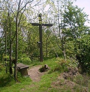
The Asberg is a hill, 441 m above sea level (NHN), on the Rheinwesterwald Volcanic Ridge on the northern edge of the Linz Heights (Linzer Höhe). Until the 1970s it was the site of a basalt quarry.
Contents
Map of Asberg, 53579 Erpel, Germany
GeographyEdit
The Asberg lies in the east of the borough of Unkel (central section and summit) and the municipalities of Rheinbreitbach (northern section) and Erpel (southern section) and is highest point of each district. The stumpy dome (kuppe) of the Asberg rises above the surrounding plateau of the volcanic ridge by around 80 metres. Three flooded pits, with a total are of two hectares, are distributed over a distance of 500 metres to the west and east of the summit, the easternmost and largest lake containing zones of silting.
LiteratureEdit
References
Asberg (Westerwald) Wikipedia(Text) CC BY-SA