
Area 353.4 km² | Local time Sunday 10:13 AM | |
 | ||
Weather 7°C, Wind SW at 14 km/h, 60% Humidity University Hiroshima Bunkyo Women's University Points of interest Hiroshima City Asa Zoologica, Terasako Park, Mt Shiraki, Egeyama Park | ||
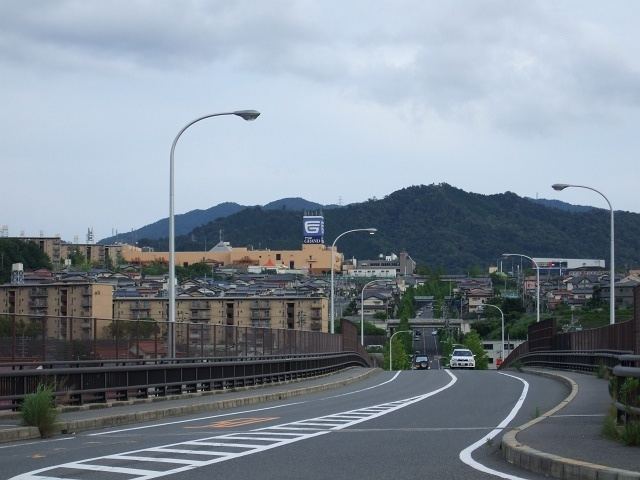
Asakita production photowork
Asakita-ku (安佐北区) is one of the eight wards of the city of Hiroshima.
Contents
Map of Asakita Ward, Hiroshima, Hiroshima Prefecture, Japan
The northern portion contains what was Asa-gun and southern Takata-gun, now defunct districts (see Takata District, Hiroshima). Asa-gun consisted of Kabe-cho, Kōyō-cho, Asa-cho. Takata-gun included Shiraki-cho. After the four towns were merged with Hiroshima in 1973, they were designated a ward and named Asakita-ku.
As of April 1, 2006, the ward has an estimated population of 156,516 and a density of 442.95 persons per km². The total area is 353.35 km².
The Hiroshima Bunkyo Women's College is located in Asakita-ku.
References
Asakita-ku, Hiroshima Wikipedia(Text) CC BY-SA