
Country Kazakhstan | ||
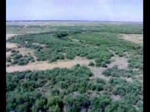 | ||
Arys river welcome to kazakhstan 13xsity video by aydar mirzadavletov
The Arys (Kazakh: Арыс) is a river of southern Kazakhstan and a tributary of the Syr Darya. The river is 378 kilometres (235 mi) long, covering a basin area of 14,900 square kilometres (5,800 sq mi).
Contents
- Arys river welcome to kazakhstan 13xsity video by aydar mirzadavletov
- Map of Arys River Kazakhstan
- References
Map of Arys River, Kazakhstan
The river begins in the Talas Alatau ridge, and average water flow is 46.6 cubic metres per second (1,650 cu ft/s). The highest runoff is in April during snow melt, the lowest is in August. The river is used for irrigation to grow rice in the lower reaches. The largest tributaries are the Mashat River, Aksu River, Sayramsu River, Boralday River and the Badam River.
The Arys has been populated by humans since ancient times, and was located to the north of the Silk Road. Numerous medieval castles, of which the most significant is Otrar Castle, is located in the area.