
Country Macedonia Car plates RE Area code +389 | Time zone CET (UTC+1) Population 137 (2002) | |
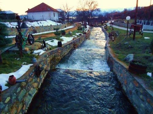 | ||
Arvati (Macedonian: Арвати; Albanian: Arvat/i) is a village in the Resen Municipality of the Republic of Macedonia. Located 18.5 kilometres (11.5 mi) from the municipal centre of Resen, the village has 137 residents. It is situated east of Lake Prespa, at the foot of Baba Mountain.
Contents
Map of Arvati, Macedonia (FYROM)
History
In the 19th century, Arvati was part of the Manastir Sanjak, a subdivision of the Manastir Vilayet of the Ottoman Empire. In 1873, the village was recorded as having 45 households and 136 male inhabitants. A few decades later, in 1905, Arvati's population consisted of 200 members of the Bulgarian Exarchate and 186 Albanians.
Demographics
Arvati's population has historically consisted of Macedonians and Albanians, with the latter forming a majority, much like the neighboring village of Krani.
The mothers tongues of the residents, much like the ethnic affiliations, include 51 native Macedonian speakers, 84 Albanian speakers, and two with a different mother tongue.
Religion
The religious affiliations of the village's residents also followed ethnic lines, with 51 identifying as Orthodox Christians, 85 as Muslims, and one as something else, as of the 2002 census.
Arvati is home to four churches dedicated to St Nicholas, Sts Constantine and Elena, St Archangel Michael, and the Ascension of the Virgin Mary.