
Elevation 170 m Local time Sunday 2:30 AM | Time zone IST (UTC+5:30) Population 11,083 (2001) | |
 | ||
Website www.arumbavoor.blogspot.com Weather 22°C, Wind N at 2 km/h, 92% Humidity | ||
Arumbavur is a panchayat town in Perambalur district in the state of Tamil Nadu, India.
Contents
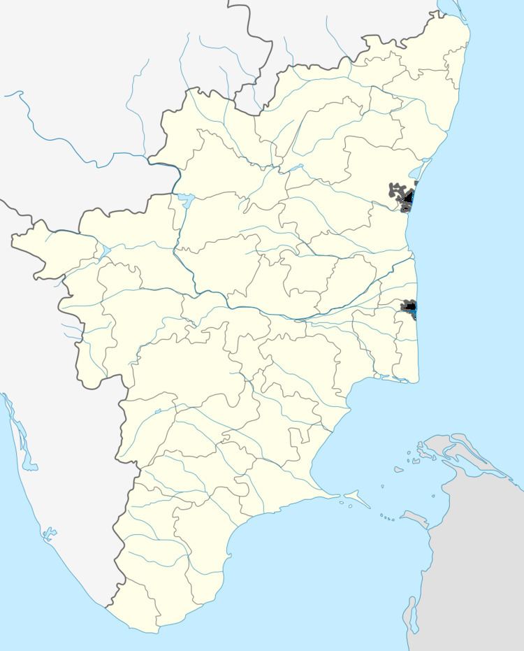
Map of Arumbavur, Tamil Nadu 621103
Geography
Arumbavur is located at 11.38°N 78.73°E / 11.38; 78.73. It has an average elevation of 170 metres (560 ft).It is surrounded by pachamalai hills in the South and West.
Demographics
As of 2001 India census, Arumbavur had a population of 12,124. Males constitute 49% of the population and females 51%. Arumbavur has an average literacy rate of 62%, higher than the national average of 59.5%; with 56% of the males and 44% of females literate. 10% of the population is under 6 years of age.
Education
The schools currently running at this location are
References
Arumbavur Wikipedia(Text) CC BY-SA