
Country Ukraine District Horodok Raion Elevation/(average value of) 273 m (896 ft) Area 347 km² | Province Lviv Oblast Established 1490 Time zone EET (UTC+2) Local time Saturday 10:21 PM | |
 | ||
Weather -1°C, Wind W at 10 km/h, 71% Humidity | ||
Artyshchiv (Ukrainian: Арти́щів)–- village (selo) in the Lviv Oblast (province), Horodotsky Raion (Horodok Raion) of western Ukraine.
Population of the village is around 360 persons.
Local government – Kernytska village council.
Contents
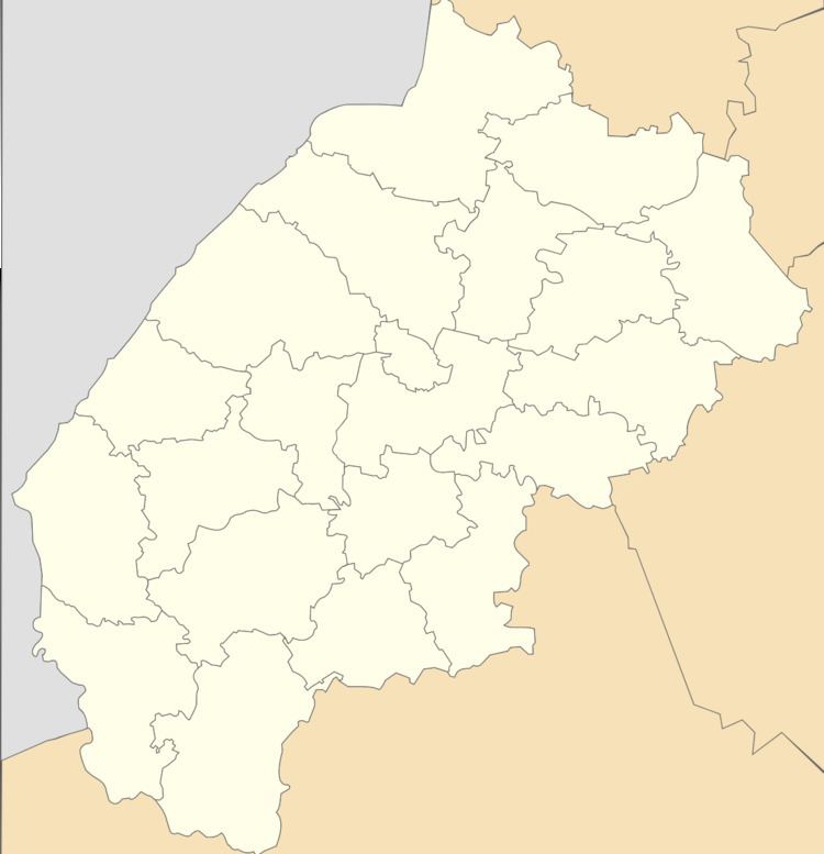
- Map of Artyshchiv Lvivska Ukraine
- Geography
- History
- Cult constructions and religion
- Literature
- References
Map of Artyshchiv, Lvivska, Ukraine
Geography
The village Artyschiv is placed along the way Horodok - Velykyi Liubin at a distance of 4 kilometres (2.5 mi) from the district center Horodok. It is 28 kilometres (17 mi) from the regional center of Lviv and 7 kilometres (4.3 mi) from the urban-type Velykyi Liubin.
Near the village passes highway in Ukraine connecting Lviv with Przemyśl.
History
The first record of the village dates back to 1490 year.
During the First World War (in 1916) in the village settled several persons from the village Chystopady Ternopil region.
Cult constructions and religion
In the village was registered religious community the Church of the Intercession of the Blessed Mother (Ukrainian Greek-Catholic Church). There is a new Church of the Holy Virgin. She was consecrated on October 14, 2010.